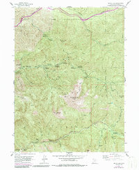
1955 Map of Mount Aire
USGS Topo · Published 1987About this map
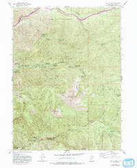
Maxfield Mine and Baker Mine anchor the industrial history of this mountain landscape east of Salt Lake, where extraction once shared the canyons with early conservation and recreation. The geography is defined by steep ridges like Reed and Benson Ridge and high summits including Gobblers Knob and Mount Raymond. This mid-century view shows a transition toward heavy public use within the Wasatch National Forest, evidenced by numerous sites like The Spruces Campground and Moss Ledge Picnic Ground. The presence of the Tracy Wigwam camp in Mill Creek canyon highlights the area's role in youth development and outdoor education. Water management is critical throughout, with a Gaging Sta and Powerhouse located near natural landmarks such as Doughnut Falls and Hidden Falls, reflecting the vital importance of the Big Cottonwood Creek watershed to the valley below.
Find a feature on this map
72 named features on this map. Tap any name to fly to it.
Don’t see what you’re looking for? This feature index may not catch every label — zoom into the map to look around manually.
Map Details
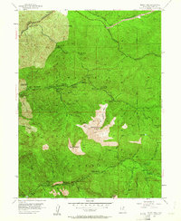
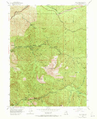
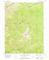
Editions of this 1955 Mount Aire Map
6 editions found
Other maps of this area

1885 · Salt Lake
USGS Topo · 1:250,000

1925 · Ft. Douglas
USGS Topo · 1:125,000

1928 · Ft. Douglas
USGS Topo · 1:125,000

1950 · Fort Douglas
USGS Topo · 1:24,000

1951 · Fort Douglas
USGS Topo · 1:24,000

1952 · Sugar House
USGS Topo · 1:24,000
1952 · Draper
USGS Topo · 1:24,000

1954 · Salt Lake City
USGS Topo · 1:250,000

1955 · Brighton
USGS Topo · 1:24,000

1955 · Mount Aire
USGS Topo · 1:24,000