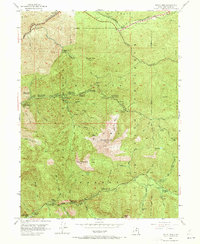
1955 Map of Mount Aire
USGS Topo · Published 1973About this map
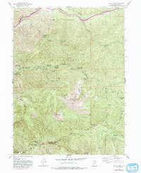
The high canyons of the Wasatch National Forest are documented here following a 1955 field check, showing a landscape defined by deep drainages and early outdoor recreation development. Significant peaks like Gobblers Knob, Mount Raymond, and Kessler Peak anchor the terrain, while the valleys of Mill Creek and Big Cottonwood Creek contain a network of established sites including The Spruces Campground and Maxfield Lodge.
Find a feature on this map
68 named features on this map. Tap any name to fly to it.
Don’t see what you’re looking for? This feature index may not catch every label — zoom into the map to look around manually.
Map Details
Editions of this 1955 Mount Aire Map
6 editions found
Other maps of this area

1885 · Salt Lake
USGS Topo · 1:250,000

1925 · Ft. Douglas
USGS Topo · 1:125,000

1928 · Ft. Douglas
USGS Topo · 1:125,000

1950 · Fort Douglas
USGS Topo · 1:24,000

1951 · Fort Douglas
USGS Topo · 1:24,000

1952 · Sugar House
USGS Topo · 1:24,000
1952 · Draper
USGS Topo · 1:24,000

1954 · Salt Lake City
USGS Topo · 1:250,000

1955 · Brighton
USGS Topo · 1:24,000

1955 · Mount Aire
USGS Topo · 1:24,000