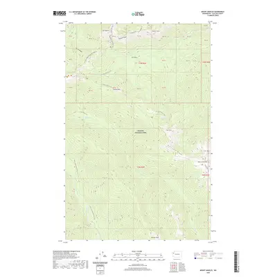
2020 Map of Mount Angeles
USGS Topo · Published 2020About this map
Mt Angeles and Klahhane Ridge dominate the northern terrain of this section of Olympic National Park, where high-elevation landmarks define the skyline. The landscape is interconnected by a complex network of footpaths, including the Lake Angeles Trail and the Hurricane Ridge To Klahhane Ridge Trail, illustrating the region's long-standing use for recreation and wilderness access.
Find a feature on this map
54 named features on this map. Tap any name to fly to it.
Don’t see what you’re looking for? This feature index may not catch every label — zoom into the map to look around manually.
Map Details
Editions of this 2020 Mount Angeles Map
This is the sole edition of this map. No revisions or reprints were ever made.
Other maps of this area

1918 · Port Angeles
USGS Topo · 1:62,500

1919 · Port Crescent
USGS Topo · 1:62,500

1935 · Mount Olympus
USGS Topo · 1:62,500

1938 · Mt Constance
USGS Topo · 1:125,000

1941 · Port Angeles
USGS Topo · 1:62,500

1942 · Mount Olympus
USGS Topo · 1:62,500

1944 · Mt. Angeles
USGS Topo · 1:62,500

1946 · Mt. Angeles
USGS Topo · 1:62,500

1950 · Elwha
USGS Topo · 1:24,000

1950 · Hurricane Hill
USGS Topo · 1:24,000