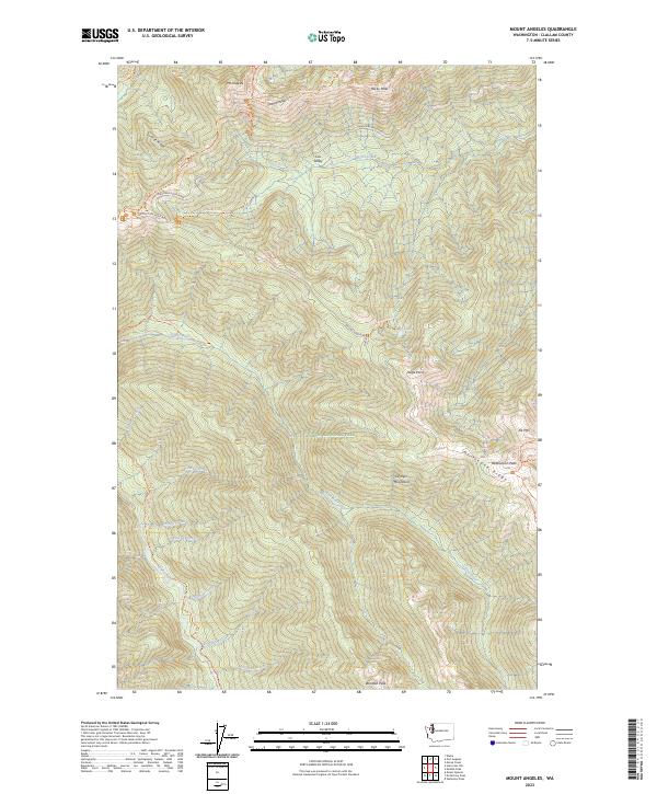
2023 Map of Mount Angeles
USGS Topo · Published 2023About this map
Olympic National Park encompasses this high-elevation landscape, where the jagged peaks of the Olympic Mountains dominate the horizon. Central to this map is the prominent Mt Angeles, a landmark that anchors the northern edge of the park near Klahhane Ridge. The map illustrates a complex network of high-country access, primarily through Hurricane Ridge Road and the winding Obstruction Point Road. These thoroughfares provide access to a series of alpine trails, including the Pacific Northwest National Scenic Trail and the Switchback Trail. Below the rocky summits of Eagle Point and Obstruction Peak, numerous watercourses drain the watershed, most notably the Lillian River and the Elwha River. The layout of the trails and primitive routes, such as the Cox Valley Primitive Trail, suggests a landscape managed for wilderness preservation and backcountry recreation within the Olympic Wilderness.
Find a feature on this map
55 named features on this map. Tap any name to fly to it.
Don’t see what you’re looking for? This feature index may not catch every label — zoom into the map to look around manually.
Map Details
Editions of this 2023 Mount Angeles Map
This is the sole edition of this map. No revisions or reprints were ever made.
Other maps of this area

1918 · Port Angeles
USGS Topo · 1:62,500

1919 · Port Crescent
USGS Topo · 1:62,500

1935 · Mount Olympus
USGS Topo · 1:62,500

1938 · Mt Constance
USGS Topo · 1:125,000

1941 · Port Angeles
USGS Topo · 1:62,500

1942 · Mount Olympus
USGS Topo · 1:62,500

1944 · Mt. Angeles
USGS Topo · 1:62,500

1946 · Mt. Angeles
USGS Topo · 1:62,500

1950 · Elwha
USGS Topo · 1:24,000

1950 · Hurricane Hill
USGS Topo · 1:24,000