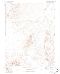
1979 Map of Mount Annie SE
USGS Topo · Published 1984About this map
Gabbs Valley and the distinctive Cobble Cuesta define the arid landscape of this 1970s survey along the border of Nye Co and Mineral Co. The map reveals a region focused on resource extraction and water management, centered around the drainage of Gabbs Wash and Finger Rock Wash. Sparse but critical infrastructure is documented, including water sources such as Derringer Well and Finger Rock Well No 2, which likely served both grazing and mining interests.
Find a feature on this map
12 named features on this map. Tap any name to fly to it.
Don’t see what you’re looking for? This feature index may not catch every label — zoom into the map to look around manually.
Map Details
Editions of this 1979 Mount Annie SE Map
2 editions found
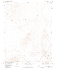
Other maps of this area

1907 · Tonopah
USGS Topo · 1:250,000

1908 · Tonopah
USGS Topo · 1:250,000

1909 · Hawthorne
USGS Topo · 1:250,000

1911 · Hawthorne
USGS Topo · 1:250,000

1915 · Hawthorne
USGS Topo · 1:250,000

1948 · Paradise Peak
USGS Topo · 1:62,500

1948 · Walker Lake
USGS Topo · 1:250,000

1950 · Paradise Peak
USGS Topo · 1:62,500

1956 · Tonopah
USGS Topo · 1:250,000

1957 · Walker Lake
USGS Topo · 1:250,000