1981 Map of Mount Ayr
USGS Topo · Published 1982About this map
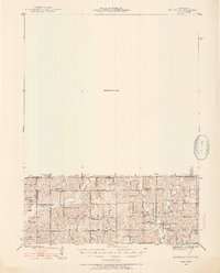
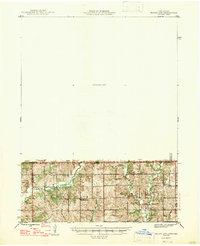
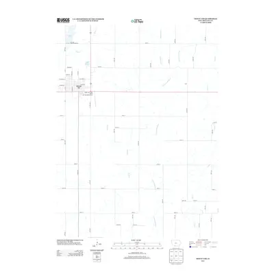
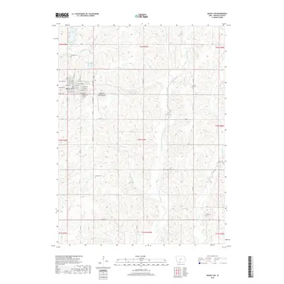
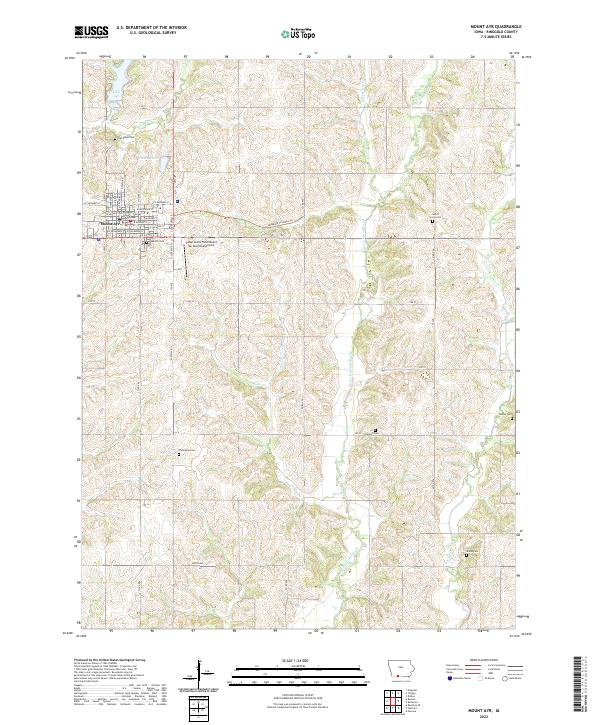
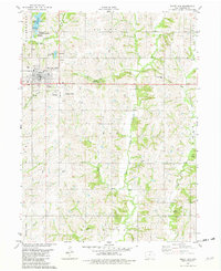
Mount Ayr serves as the hub of this Ringgold County landscape, where the town grid is bounded by the Rose Hill Cemetery and the Municipal Airport. The surrounding townships, including Liberty and Poe, are defined by a complex drainage system featuring the Middle Fork Grand River and East Fork Grand River. Significant land use is dedicated to conservation and recreation, notably the Mount Ayr State Fish Hatchery and Fifes Grove County Park. A prominent Old Railroad Grade cuts across the northern half of the sheet, marking a former transportation corridor that once linked these rural communities. Genealogists will find a wealth of burial sites scattered throughout the sections, such as Sweet Home Cem and Oakland Cem, which speak to the area's pioneer heritage and distributed farmstead settlement patterns.
Find a feature on this map
37 named features on this map. Tap any name to fly to it.
Don’t see what you’re looking for? This feature index may not catch every label — zoom into the map to look around manually.
Map Details
Editions of this 1981 Mount Ayr Map
This is the sole edition of this map. No revisions or reprints were ever made.
Historical Maps of Mount Ayr Through Time
9 maps found