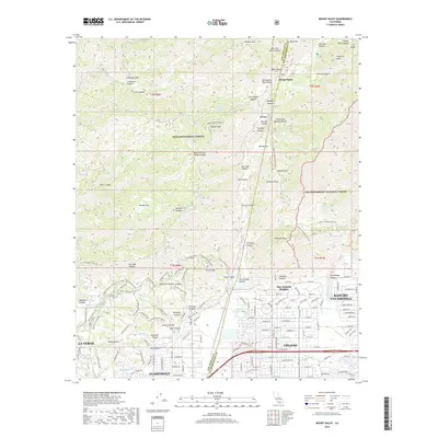
2018 Map of Mount Baldy
USGS Topo · Published 2018About this map
Mount Baldy and the high ridges of the San Gabriel Mountains dominate this 2018 survey, marking the transition from the wilderness of the Angeles National Forest to the expanding suburbs of the Inland Empire. The map details the interface between the steep canyons, such as Bear Canyon and Evey Canyon, and the foothill communities of San Antonio Heights, Rancho Cucamonga, and Upland. High-elevation landmarks like Sunset Peak and Potato Mountain stand above a network of fire roads and trails including the Sunset Ridge Fire Rd and Barrett Stoddard Truck Trl. This modern record captures the dense street grids of Claremont and La Verne where they meet the foothills, highlighting the persistent importance of water management through features like Thompson Wash and numerous named canyons that drain the rugged slopes toward the valley floor.
Find a feature on this map
117 named features on this map. Tap any name to fly to it.
Don’t see what you’re looking for? This feature index may not catch every label — zoom into the map to look around manually.
Map Details
Editions of this 2018 Mount Baldy Map
This is the sole edition of this map. No revisions or reprints were ever made.
Other maps of this area

1894 · Pomona
USGS Topo · 1:62,500

1897 · Pomona
USGS Topo · 1:62,500

1897 · Cucamonga
USGS Topo · 1:62,500

1898 · Pomona
USGS Topo · 1:62,500

1900 · Cucamonga
USGS Topo · 1:62,500

1901 · Southern California Sheet No. 1
USGS Topo · 1:250,000

1903 · Rock Creek
USGS Topo · 1:62,500

1903 · Cucamonga
USGS Topo · 1:62,500

1903 · San Antonio
USGS Topo · 1:62,500

1904 · Pomona
USGS Topo · 1:62,500