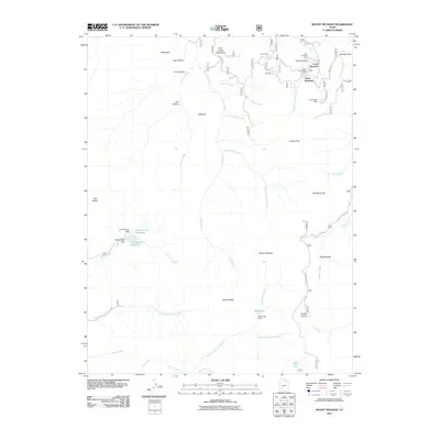
2011 Map of Mount Belknap
USGS Topo · Published 2011About this map
Gold Mountain dominates the northeast reaches of this Piute County terrain, where a legacy of high-altitude extraction is visible through the clustered workings of the Sevier Mine and the Lower Kimberly Mine. These sites, along with the Upper Kimberly Mine and Grasshopper Mine, are situated near the settlements of Upper Kimberly and Lower Kimberly, indicating a concentrated mining district connected by the winding Kimberly Rd.
Find a feature on this map
51 named features on this map. Tap any name to fly to it.
Don’t see what you’re looking for? This feature index may not catch every label — zoom into the map to look around manually.
Map Details
Editions of this 2011 Mount Belknap Map
This is the sole edition of this map. No revisions or reprints were ever made.
Other maps of this area

1885 · Beaver
USGS Topo · 1:250,000

1932 · Sevier
USGS Topo · 1:62,500

1935 · Sevier
USGS Topo · 1:62,500

1937 · Delano Peak
USGS Topo · 1:48,000

1943 · Delano Peak
USGS Topo · 1:62,500

1953 · Richfield
USGS Topo · 1:250,000

1954 · Beaver SE
USGS Topo · 1:24,000

1954 · Beaver NE
USGS Topo · 1:24,000

1958 · Richfield
USGS Topo · 1:250,000

1958 · Beaver
USGS Topo · 1:62,500