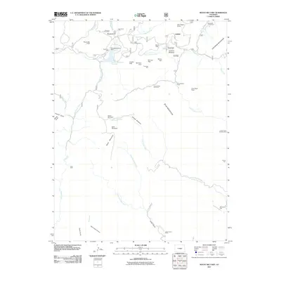
2011 Map of Mount Big Chief
USGS Topo · Published 2011About this map
Comanche Group Mine and the Heavy Stone Lode sit high in the drainage of East Beaver Creek, marking a landscape defined by historic extraction and high-altitude settlements. This area of Colorado is characterized by its significant summits, including Mount Big Chief and Cheyenne Mountain, which overlook a network of seasonal camps and lodges. The presence of the Broadmoor Lodge near the Penrose-Rosemont Reservoir suggests a legacy of mountain tourism and water management that persists alongside older mining interests like the Winfield Scott Stratton Mine.
Find a feature on this map
52 named features on this map. Tap any name to fly to it.
Don’t see what you’re looking for? This feature index may not catch every label — zoom into the map to look around manually.
Map Details
Editions of this 2011 Mount Big Chief Map
This is the sole edition of this map. No revisions or reprints were ever made.
Other maps of this area

1893 · Colorado Springs
USGS Topo · 1:125,000

1894 · Pikes Peak
USGS Topo · 1:125,000

1901 · Pikes Peak
USGS Topo · 1:125,000

1901 · Pikes Peak
USGS Topo · 1:62,500

1909 · Colorado Springs
USGS Topo · 1:125,000

1942 · Colorado Springs
USGS Topo · 1:125,000

1948 · Mount Big Chief
USGS Topo · 1:24,000

1948 · Mount Pittsburg
USGS Topo · 1:24,000

1948 · Timber Mountain
USGS Topo · 1:24,000

1948 · Manitou Springs
USGS Topo · 1:24,000