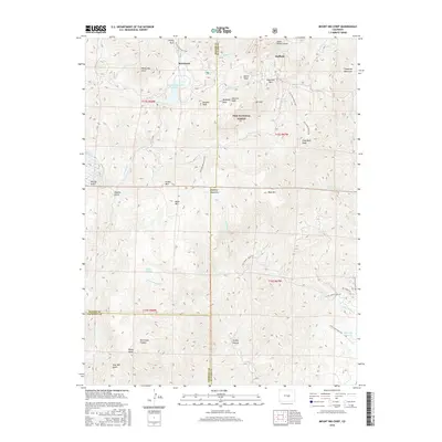
2016 Map of Mount Big Chief
USGS Topo · Published 2016About this map
Rosemont and Duffield sit within the high-elevation terrain of the Pike National Forest, marking a landscape where clearings and mountain peaks dominate. The area is defined by massive granite formations and water management features, most notably the Penrose-Rosemont Reservoir and Glen Cairn Reservoir. These water bodies, along with the headwaters of Little Turkey Cr and Little Fountain Cr, illustrate the historical and ongoing importance of high-altitude catchment for the front range communities just beyond the peaks.
Find a feature on this map
50 named features on this map. Tap any name to fly to it.
Don’t see what you’re looking for? This feature index may not catch every label — zoom into the map to look around manually.
Map Details
Editions of this 2016 Mount Big Chief Map
This is the sole edition of this map. No revisions or reprints were ever made.
Other maps of this area

1893 · Colorado Springs
USGS Topo · 1:125,000

1894 · Pikes Peak
USGS Topo · 1:125,000

1901 · Pikes Peak
USGS Topo · 1:125,000

1901 · Pikes Peak
USGS Topo · 1:62,500

1909 · Colorado Springs
USGS Topo · 1:125,000

1942 · Colorado Springs
USGS Topo · 1:125,000

1948 · Mount Big Chief
USGS Topo · 1:24,000

1948 · Mount Pittsburg
USGS Topo · 1:24,000

1948 · Timber Mountain
USGS Topo · 1:24,000

1948 · Manitou Springs
USGS Topo · 1:24,000