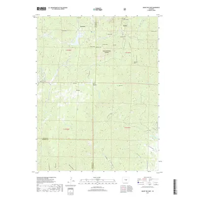
2019 Map of Mount Big Chief
USGS Topo · Published 2019About this map
Mount Big Chief and the high ridges of the Pike National Forest dominate this landscape at the intersection of Teller, El Paso, and Fremont counties. The terrain is characterized by a series of prominent peaks and drainage systems, including Saint Peters Dome and Cheyenne Mountain to the east, and San Luis Peak near the center. The small settlements of Rosemont and Duffield are situated along these high-elevation routes, serving as reference points in a region defined more by its physical geography than dense habitation.
Find a feature on this map
49 named features on this map. Tap any name to fly to it.
Don’t see what you’re looking for? This feature index may not catch every label — zoom into the map to look around manually.
Map Details
Editions of this 2019 Mount Big Chief Map
This is the sole edition of this map. No revisions or reprints were ever made.
Other maps of this area
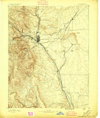
1893 · Colorado Springs
USGS Topo · 1:125,000
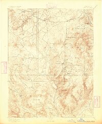
1894 · Pikes Peak
USGS Topo · 1:125,000
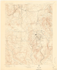
1901 · Pikes Peak
USGS Topo · 1:125,000
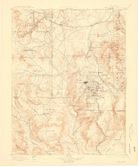
1901 · Pikes Peak
USGS Topo · 1:62,500
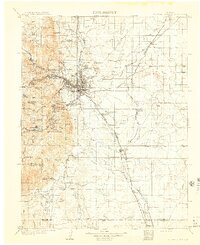
1909 · Colorado Springs
USGS Topo · 1:125,000
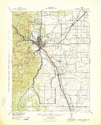
1942 · Colorado Springs
USGS Topo · 1:125,000
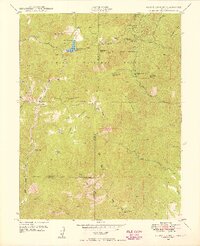
1948 · Mount Big Chief
USGS Topo · 1:24,000
1948 · Mount Pittsburg
USGS Topo · 1:24,000
1948 · Timber Mountain
USGS Topo · 1:24,000
1948 · Manitou Springs
USGS Topo · 1:24,000