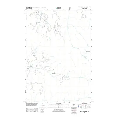
2011 Map of Mount Blackmore
USGS Topo · Published 2011About this map
The high-elevation terrain of Mount Blackmore dominates this Gallatin County landscape, marking a rugged area of peaks and drainage systems north of the Yellowstone border. This 2011 survey captures the network of Forest Service infrastructure and landmarks that define the region, including the Blanchard Sawmill and the Butte Meadows Camp situated along the lower reaches of the peaks. The map reveals how water moves through the high country via Big Bear Creek and Storm Castle Creek, with natural markers like Telephone Ridge and Orchid Gulch providing essential orientation for those navigating the backcountry.
Find a feature on this map
24 named features on this map. Tap any name to fly to it.
Don’t see what you’re looking for? This feature index may not catch every label — zoom into the map to look around manually.
Map Details
Editions of this 2011 Mount Blackmore Map
This is the sole edition of this map. No revisions or reprints were ever made.
Other maps of this area

1888 · Three Forks
USGS Topo · 1:250,000

1891 · Livingston
USGS Topo · 1:250,000

1893 · Livingston
USGS Topo · 1:250,000

1894 · Three Forks
USGS Topo · 1:250,000

1895 · Three Forks
USGS Topo · 1:250,000

1947 · Bozeman
USGS Topo · 1:250,000

1948 · Bozeman
USGS Topo · 1:250,000

1951 · Bozeman Pass
USGS Topo · 1:62,500

1953 · Bozeman
USGS Topo · 1:62,500

1955 · Bozeman
USGS Topo · 1:250,000