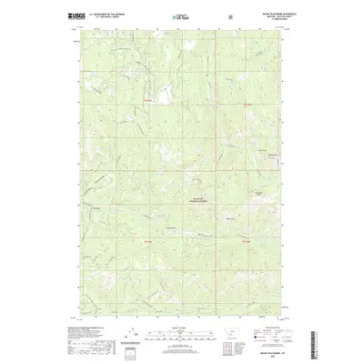
2020 Map of Mount Blackmore
USGS Topo · Published 2020About this map
Gallatin National Forest dominates this high-elevation landscape, where the northern Gallatin Range culminates in several prominent summits. The terrain is anchored by Mt Blackmore and Alex Lowe Peak in the east, while ridges such as Mica Ridge and Telephone Ridge extend through the central and western reaches. Water from high basins feeds a network of drainage systems, including Big Bear Cr and the winding Storm Castle Creek. The presence of Big Bear Lake and Lake Of The Pines underscores the glacial legacy of the area, providing critical reference points for backcountry researchers and outdoor historians. This mapping detail clarifies the complex drainage patterns of Swan Creek and the southern cottonwood system, tracing the paths of forest routes like Squaw Creek Rd as they navigate the steep elevation changes between Timber Butte and Orchid Gulch.
Find a feature on this map
37 named features on this map. Tap any name to fly to it.
Don’t see what you’re looking for? This feature index may not catch every label — zoom into the map to look around manually.
Map Details
Editions of this 2020 Mount Blackmore Map
This is the sole edition of this map. No revisions or reprints were ever made.
Other maps of this area

1888 · Three Forks
USGS Topo · 1:250,000

1891 · Livingston
USGS Topo · 1:250,000

1893 · Livingston
USGS Topo · 1:250,000

1894 · Three Forks
USGS Topo · 1:250,000

1895 · Three Forks
USGS Topo · 1:250,000

1947 · Bozeman
USGS Topo · 1:250,000

1948 · Bozeman
USGS Topo · 1:250,000

1951 · Bozeman Pass
USGS Topo · 1:62,500

1953 · Bozeman
USGS Topo · 1:62,500

1955 · Bozeman
USGS Topo · 1:250,000