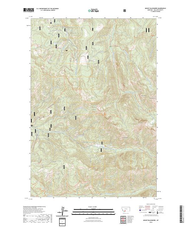
2024 Map of Mount Blackmore
USGS Topo · Published 2024About this map
Mt Blackmore and Alex Lowe Peak crown the eastern heights of this high-elevation mountain terrain within the Gallatin National Forest. The landscape is defined by a dense network of watercourses and ridgelines, where Big Bear Creek and South Cottonwood Creek carve deep drainages through the territory. Historical and recreational movement through the area is captured via an extensive system of trails, including the History Rock Trl and the Lake Of The Pines Trl, which follow the contours of the land rather than traditional road grids. The southern portion of the map transitions into the drainage for Swan Creek, while prominent landmarks like Amber Butte and Timber Butte rise between the winding paths of Storm Castle Creek and Butte Creek. This map documents the complex topography and backcountry infrastructure of the Gallatin Range in the modern era.
Find a feature on this map
36 named features on this map. Tap any name to fly to it.
Don’t see what you’re looking for? This feature index may not catch every label — zoom into the map to look around manually.
Map Details
Editions of this 2024 Mount Blackmore Map
This is the sole edition of this map. No revisions or reprints were ever made.
Other maps of this area

1888 · Three Forks
USGS Topo · 1:250,000

1891 · Livingston
USGS Topo · 1:250,000

1893 · Livingston
USGS Topo · 1:250,000

1894 · Three Forks
USGS Topo · 1:250,000

1895 · Three Forks
USGS Topo · 1:250,000

1947 · Bozeman
USGS Topo · 1:250,000

1948 · Bozeman
USGS Topo · 1:250,000

1951 · Bozeman Pass
USGS Topo · 1:62,500

1953 · Bozeman
USGS Topo · 1:62,500

1955 · Bozeman
USGS Topo · 1:250,000