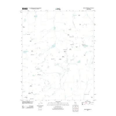
2012 Map of Mount Brewer
USGS Topo · Published 2012About this map
The high Sierra crest at Kings-Kern Divide forms the primary topographical spine of this landscape, where the headwaters of the Kern River begin their descent. This 2012 survey captures the high-altitude hydrology of the region, anchored by significant water bodies such as Lake Reflection and Lake South America. The terrain is defined by a dense concentration of peaks and passes that served as critical navigation points for early mountaineers and surveyors, including Mount Brewer, Mount Stanford, and the notably named Gregorys Monument. Evidence of backcountry management is found at the Tyndall Creek Patrol Cabin near Tyndall Cr. The map illustrates a complex network of glacial cirques and ridges, from Milestone Mountain in the south to the Vidette Lakes in the north, providing a detailed record of the high-country geography used by generations of wilderness travelers.
Find a feature on this map
45 named features on this map. Tap any name to fly to it.
Don’t see what you’re looking for? This feature index may not catch every label — zoom into the map to look around manually.
Map Details
Editions of this 2012 Mount Brewer Map
This is the sole edition of this map. No revisions or reprints were ever made.
Other maps of this area

1903 · Tehipite
USGS Topo · 1:125,000

1905 · Tehipite
USGS Topo · 1:125,000

1907 · Mt. Whitney
USGS Topo · 1:125,000

1919 · Mt. Whitney
USGS Topo · 1:125,000

1937 · Mt. Whitney
USGS Topo · 1:125,000

1948 · Fresno
USGS Topo · 1:250,000

1953 · Mt. Pinchot
USGS Topo · 1:62,500

1953 · Marion Peak
USGS Topo · 1:62,500

1955 · Fresno
USGS Topo · 1:250,000

1956 · Fresno
USGS Topo · 1:250,000