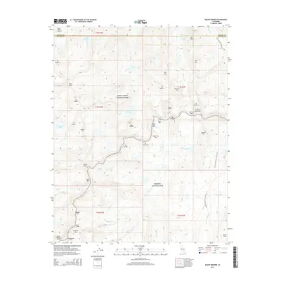
2015 Map of Mount Brewer
USGS Topo · Published 2015About this map
Mount Brewer and the surrounding high-altitude terrain of the Kings Canyon National Park and Sequoia National Park dominate this survey of the High Sierra. The landscape is defined by the intersection of the Kings-Kern Divide and the Great Western Divide, creating a complex network of granite peaks and glacial basins. Prominent summits including Mount Stanford, Caltech Peak, and Mount Ericson overlook a series of high alpine water bodies, most notably the intricately shaped Lake Reflection and the high basin of Lake South America.
Find a feature on this map
55 named features on this map. Tap any name to fly to it.
Don’t see what you’re looking for? This feature index may not catch every label — zoom into the map to look around manually.
Map Details
Editions of this 2015 Mount Brewer Map
This is the sole edition of this map. No revisions or reprints were ever made.
Other maps of this area

1903 · Tehipite
USGS Topo · 1:125,000

1905 · Tehipite
USGS Topo · 1:125,000

1907 · Mt. Whitney
USGS Topo · 1:125,000

1919 · Mt. Whitney
USGS Topo · 1:125,000

1937 · Mt. Whitney
USGS Topo · 1:125,000

1948 · Fresno
USGS Topo · 1:250,000

1953 · Mt. Pinchot
USGS Topo · 1:62,500

1953 · Marion Peak
USGS Topo · 1:62,500

1955 · Fresno
USGS Topo · 1:250,000

1956 · Fresno
USGS Topo · 1:250,000