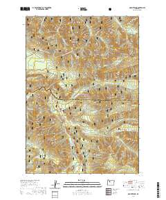
2020 Map of Mount Bruno
USGS Topo · Published 2020About this map
Mt Bruno and the surrounding high country of the Willamette National Forest define this landscape along the border of Marion and Linn counties. The terrain is a network of ridges and drainages, marked by prominent elevations like Triangulation Peak, Outerson Mtn, and the distinctive Spire Rock. Water flows through deep-cut valleys via the North Santiam River and the S Fork Breitenbush River, with several alpine lakes such as Pamelia Lake, Peasley Lake, and Jo Jo Lake tucked into the higher benches.
Find a feature on this map
46 named features on this map. Tap any name to fly to it.
Don’t see what you’re looking for? This feature index may not catch every label — zoom into the map to look around manually.
Map Details
Editions of this 2020 Mount Bruno Map
This is the sole edition of this map. No revisions or reprints were ever made.
Other maps of this area

1927 · Mt. Jefferson
USGS Topo · 1:125,000

1929 · Mill City
USGS Topo · 1:125,000

1930 · Mt. Jefferson
USGS Topo · 1:125,000

1953 · Salem
USGS Topo · 1:250,000

1954 · Salem
USGS Topo · 1:250,000

1955 · Bend
USGS Topo · 1:250,000

1956 · Battle Ax
USGS Topo · 1:62,500

1956 · Detroit
USGS Topo · 1:62,500

1957 · Bend
USGS Topo · 1:250,000

1958 · Bend
USGS Topo · 1:250,000