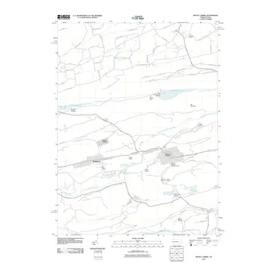
2010 Map of Mount Carmel
USGS Topo · Published 2010About this map
Mount Carmel and the surrounding coal region of Northumberland County are depicted here in 2010, showing the high-density grid layouts of anthracite-era settlements. The landscape is defined by its industrial history and community infrastructure, featuring a significant concentration of cemeteries such as Saint Marys Cemetery, Holy Cross Cemetery, and Tifereth Cemetery situated on the outskirts of the boroughs. The map details the complex water management system required for both municipal use and industrial processing, including the Shamokin Reservoir and the Locust Summit Fines Plant Dam.
Find a feature on this map
65 named features on this map. Tap any name to fly to it.
Don’t see what you’re looking for? This feature index may not catch every label — zoom into the map to look around manually.
Map Details
Editions of this 2010 Mount Carmel Map
This is the sole edition of this map. No revisions or reprints were ever made.
Other maps of this area

1889 · Catawissa
USGS Topo · 1:62,500

1892 · Catawissa
USGS Topo · 1:62,500

1892 · Lykens
USGS Topo · 1:62,500

1892 · Shamokin
USGS Topo · 1:62,500

1892 · Pine Grove
USGS Topo · 1:62,500

1893 · Lykens
USGS Topo · 1:62,500

1893 · Shamokin
USGS Topo · 1:62,500

1894 · Catawissa
USGS Topo · 1:62,500

1943 · Lykens
USGS Topo · 1:62,500

1943 · Shamokin
USGS Topo · 1:62,500