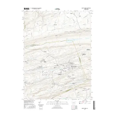
2016 Map of Mount Carmel
USGS Topo · Published 2016About this map
Mount Carmel and its neighboring boroughs of Kulpmont and Marion Heights form the urban core of this 2016 survey, showcasing a densely settled corridor within the coal region of Pennsylvania. This landscape is defined by the sharp east-west ridges of Little Mountain, Big Mtn, and Locust Mountain, where the built environment adapts to the narrow valleys and steep slopes. Between these ridges, a series of smaller settlements including Atlas, Strong, and Excelsior follow the contours of the land and the paths of waterways like Shamokin Cr and the N Br Shamokin Cr.
Find a feature on this map
135 named features on this map. Tap any name to fly to it.
Don’t see what you’re looking for? This feature index may not catch every label — zoom into the map to look around manually.
Map Details
Editions of this 2016 Mount Carmel Map
This is the sole edition of this map. No revisions or reprints were ever made.
Other maps of this area

1889 · Catawissa
USGS Topo · 1:62,500

1892 · Catawissa
USGS Topo · 1:62,500

1892 · Lykens
USGS Topo · 1:62,500

1892 · Shamokin
USGS Topo · 1:62,500

1892 · Pine Grove
USGS Topo · 1:62,500

1893 · Lykens
USGS Topo · 1:62,500

1893 · Shamokin
USGS Topo · 1:62,500

1894 · Catawissa
USGS Topo · 1:62,500

1943 · Lykens
USGS Topo · 1:62,500

1943 · Shamokin
USGS Topo · 1:62,500