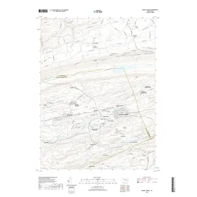
2019 Map of Mount Carmel
USGS Topo · Published 2019About this map
Mount Carmel and its neighboring borough Kulpmont anchor this survey of the Pennsylvania anthracite coal region, where the industrial history is etched into the landscape of Locust Mountain and Mahanoy Mtn. The map documents a dense network of smaller coal-country settlements including Locust Gap, Helfenstein, and Natalie, many of which were founded as patch towns for specific mining operations. Water management for this industrial and residential corridor is visible at the Shamokin Reservoir and along the various branches of Shamokin Cr. Local family and community history is preserved in numerous locations such as Saint Marys Cem, the Fisherdale United Methodist Cem, and the specialized Numidia Drive Private Burial Grounds. The arrangement of these cemeteries and churches among the ridges and runs of the Columbia and Northumberland border reflects the complex social geography of these mountain communities.
Find a feature on this map
145 named features on this map. Tap any name to fly to it.
Don’t see what you’re looking for? This feature index may not catch every label — zoom into the map to look around manually.
Map Details
Editions of this 2019 Mount Carmel Map
This is the sole edition of this map. No revisions or reprints were ever made.
Other maps of this area

1889 · Catawissa
USGS Topo · 1:62,500

1892 · Catawissa
USGS Topo · 1:62,500

1892 · Lykens
USGS Topo · 1:62,500

1892 · Shamokin
USGS Topo · 1:62,500

1892 · Pine Grove
USGS Topo · 1:62,500

1893 · Lykens
USGS Topo · 1:62,500

1893 · Shamokin
USGS Topo · 1:62,500

1894 · Catawissa
USGS Topo · 1:62,500

1943 · Lykens
USGS Topo · 1:62,500

1943 · Shamokin
USGS Topo · 1:62,500