Loading...
Loading map...2023 Map of Mount Carmel
USGS Topo · Published 2023About this map
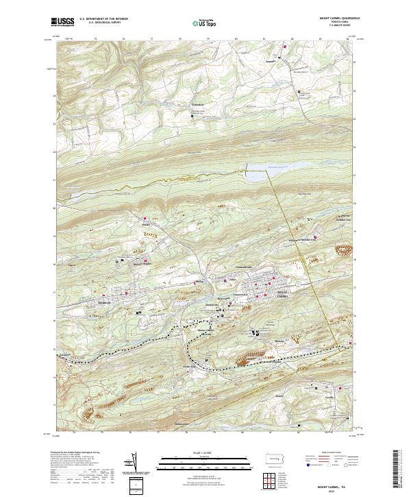
Mount Carmel and Kulpmont anchor this survey of the Pennsylvania Anthracite Region, where steep ridges and narrow valleys dictated the layout of dense mining towns. The landscape is defined by the massive crests of Locust Mountain and Mahanoy Mountain, which hem in the settlements of Locust Gap and Locust Summit. These communities emerged around the geology of the coal fields, connected by a network of runs such as Shamokin Creek and Mahanoy Creek.
Find a feature on this map
164 named features on this map. Tap any name to fly to it.
Don’t see what you’re looking for? This feature index may not catch every label — zoom into the map to look around manually.
Map Details
Date Portrayed2023
Date Published2023
PublisherU.S. Geological Survey
Map TypeTopographic
Scale1:24000
Physical Dimensions24 x 29 inches
Editions of this 2023 Mount Carmel Map
This is the sole edition of this map. No revisions or reprints were ever made.
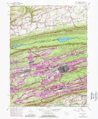
Historical Maps of Helfenstein Through Time
3 maps found
Featured Locations
Source Details
SourceU.S. Geological Survey
CopyrightPublic Domain