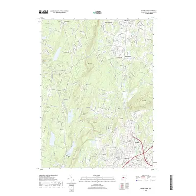
2018 Map of Mount Carmel
USGS Topo · Published 2018About this map
Mt Sanford and the surrounding peaks of West Rock Ridge dominate the central landscape of this Connecticut survey, illustrating the rugged geography between the Naugatuck and Quinnipiac River valleys. The drainage patterns of the Mill River and its various tributaries, such as Shepard Brook and Willow Brook, dictate the positioning of residential growth in Hamden and Cheshire. Significant institutional and historic footprints are visible, including the campus of Quinnipiac Univ and the Central Burying Grounds. Water management is a primary feature of the region, evidenced by the large footprints of Lake Bethany, Lake Watrous, and the Farm Brook Reservoir. The map also captures several traditional crossroads settlements and corners, such as Ives Corner and Richards Corner, alongside several well-established burial sites like Hillside Cem and New Saint Bridget Cem.
Find a feature on this map
258 named features on this map. Tap any name to fly to it.
Don’t see what you’re looking for? This feature index may not catch every label — zoom into the map to look around manually.
Map Details
Editions of this 2018 Mount Carmel Map
This is the sole edition of this map. No revisions or reprints were ever made.
Other maps of this area

1889 · Derby
USGS Topo · 1:62,500

1891 · Derby
USGS Topo · 1:62,500

1892 · New Haven
USGS Topo · 1:62,500

1892 · Meriden
USGS Topo · 1:62,500

1893 · Waterbury
USGS Topo · 1:62,500

1893 · Meriden
USGS Topo · 1:62,500

1893 · Derby
USGS Topo · 1:62,500

1904 · Waterbury
USGS Topo · 1:62,500

1904 · Litchfield
USGS Topo · 1:125,000

1906 · Farmington
USGS Topo · 1:125,000