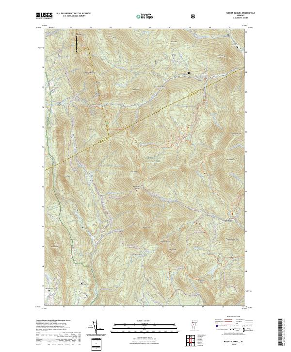
2024 Map of Mount Carmel
USGS Topo · Published 2024About this map
Green Mountain National Forest dominates this topographic study of Vermont's central peaks, where the intersection of Addison, Rutland, and Windsor counties meets high-elevation terrain. The map highlights the Joseph Battell Wilderness and the protected slopes of Mt Carmel and Mt Horrid. Historic family burial grounds such as Oliver Reynolds Cem and Bingo Cem are scattered throughout the mountain valleys, providing essential markers for genealogical research in this sparsely populated region. The Long Trl winds across the ridgelines, crossing through Brandon Gap and Bloodroot Gap. The drainage patterns are intricate, with Chittenden Brook and Furnace Brook carving deep into the landscape. Small local roads like Lead Mine Rd and Lazy Acres Rd provide access to the foothills, while the settlement of Michigan sits tucked away near Thousand Acre Hill.
Find a feature on this map
81 named features on this map. Tap any name to fly to it.
Don’t see what you’re looking for? This feature index may not catch every label — zoom into the map to look around manually.
Map Details
Editions of this 2024 Mount Carmel Map
This is the sole edition of this map. No revisions or reprints were ever made.
Other maps of this area

1891 · Rutland
USGS Topo · 1:62,500

1893 · Rutland
USGS Topo · 1:62,500

1895 · Castleton
USGS Topo · 1:62,500

1897 · Castleton
USGS Topo · 1:62,500

1902 · Brandon
USGS Topo · 1:62,500

1904 · Brandon
USGS Topo · 1:62,500

1915 · Rochester
USGS Topo · 1:62,500

1917 · Rochester
USGS Topo · 1:62,500

1920 · Brandon
USGS Topo · 1:62,500

1944 · Proctor
USGS Topo · 1:31,680