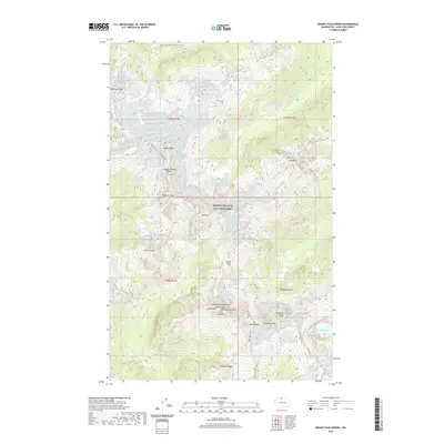
2020 Map of Mount Challenger
USGS Topo · Published 2020About this map
North Cascades National Park contains some of the most dramatic high-altitude relief in Washington, dominated by the jagged peaks of the Picket Range. The topography is defined by massive glacial systems, including the Whatcom Glacier and Challenge Glacier, which feed high-mountain drainages such as Little Beaver Cr and Goodell Cr. The presence of the Pacific NW National Scenic Trail provides the primary human corridor through this vertical landscape, crossing the northern section near Whatcom Peak.
Find a feature on this map
38 named features on this map. Tap any name to fly to it.
Don’t see what you’re looking for? This feature index may not catch every label — zoom into the map to look around manually.
Map Details
Editions of this 2020 Mount Challenger Map
This is the sole edition of this map. No revisions or reprints were ever made.
Other maps of this area

1953 · Marblemount
USGS Topo · 1:62,500

1953 · Mt Challenger
USGS Topo · 1:62,500

1955 · Concrete
USGS Topo · 1:250,000

1958 · Concrete
USGS Topo · 1:250,000

1962 · Concrete
USGS Topo · 1:250,000

1963 · Diablo Dam
USGS Topo · 1:24,000

1969 · Mt Prophet
USGS Topo · 1:24,000
1969 · Mt Spickard
USGS Topo · 1:24,000

1979 · Mt. Baker
USGS Topo · 1:100,000
1989 · Copper Mountain
USGS Topo · 1:24,000