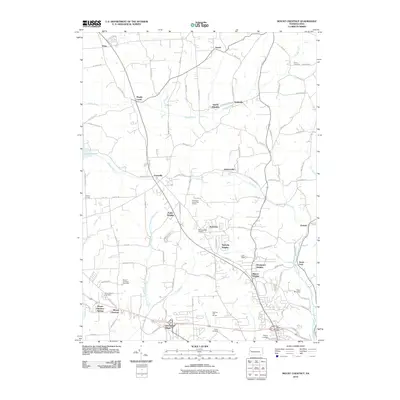
2010 Map of Mount Chestnut
USGS Topo · Published 2010About this map
Mount Chestnut and its surrounding residential developments characterize this landscape north of Butler in the early 21st century. The map reveals a suburban-rural mix where traditional hamlets like Unionville and Jamisonville sit alongside newer housing clusters such as Timberly Heights, Shanor Heights, and Windward Heights. This transition from agriculture to residential use is anchored by several golf courses and the presence of McCandless Airport.
Find a feature on this map
101 named features on this map. Tap any name to fly to it.
Don’t see what you’re looking for? This feature index may not catch every label — zoom into the map to look around manually.
Map Details
Editions of this 2010 Mount Chestnut Map
This is the sole edition of this map. No revisions or reprints were ever made.
Other maps of this area

1908 · Zelienople
USGS Topo · 1:62,500

1909 · Butler
USGS Topo · 1:62,500

1910 · Zelienople
USGS Topo · 1:62,500

1910 · Hilliards
USGS Topo · 1:62,500

1911 · Butler
USGS Topo · 1:62,500

1912 · Hilliards
USGS Topo · 1:62,500

1913 · Mercer
USGS Topo · 1:62,500

1939 · Mercer
USGS Topo · 1:62,500

1943 · Mercer
USGS Topo · 1:62,500

1944 · Hilliards
USGS Topo · 1:62,500