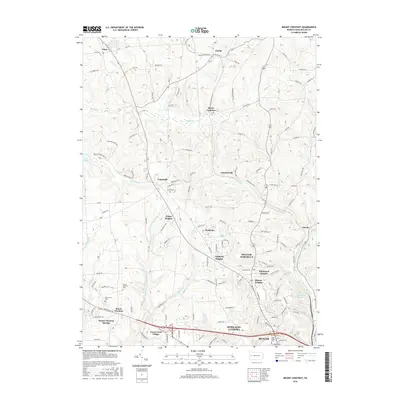
2016 Map of Mount Chestnut
USGS Topo · Published 2016About this map
Chestnut Ridge anchors this landscape in Butler County, where the topography transitions from the structured residential clusters near Butler to the more open, creek-carved terrain to the northwest. The southern portion of the map is defined by dense suburban development in Homeacre-Lyndora and established neighborhoods like Shanor Heights and Windward Heights. These areas contrast with the northern reaches around Queen Junction and Euclid, where the land is dominated by the winding paths of Big Run and Muddy Creek.
Find a feature on this map
97 named features on this map. Tap any name to fly to it.
Don’t see what you’re looking for? This feature index may not catch every label — zoom into the map to look around manually.
Map Details
Editions of this 2016 Mount Chestnut Map
This is the sole edition of this map. No revisions or reprints were ever made.
Other maps of this area

1908 · Zelienople
USGS Topo · 1:62,500

1909 · Butler
USGS Topo · 1:62,500

1910 · Zelienople
USGS Topo · 1:62,500

1910 · Hilliards
USGS Topo · 1:62,500

1911 · Butler
USGS Topo · 1:62,500

1912 · Hilliards
USGS Topo · 1:62,500

1913 · Mercer
USGS Topo · 1:62,500

1939 · Mercer
USGS Topo · 1:62,500

1943 · Mercer
USGS Topo · 1:62,500

1944 · Hilliards
USGS Topo · 1:62,500