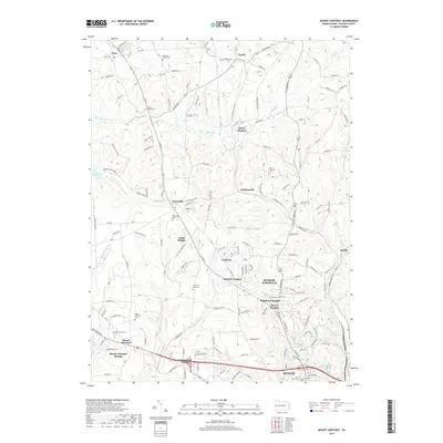
2019 Map of Mount Chestnut
USGS Topo · Published 2019About this map
Butler and its northern suburbs are characterized by a network of creeks and small valleys that have shaped the region's development since the early nineteenth century. The confluence of Little Connoquenessing Cr and Crooked Run creates a complex drainage system that defined the original township boundaries. Small settlements like Queen Junction and Jamisonville appear as historical anchors amidst newer residential growth, such as Timberly Heights and Shanor Heights.
Find a feature on this map
144 named features on this map. Tap any name to fly to it.
Don’t see what you’re looking for? This feature index may not catch every label — zoom into the map to look around manually.
Map Details
Editions of this 2019 Mount Chestnut Map
This is the sole edition of this map. No revisions or reprints were ever made.
Other maps of this area

1908 · Zelienople
USGS Topo · 1:62,500

1909 · Butler
USGS Topo · 1:62,500

1910 · Zelienople
USGS Topo · 1:62,500

1910 · Hilliards
USGS Topo · 1:62,500

1911 · Butler
USGS Topo · 1:62,500

1912 · Hilliards
USGS Topo · 1:62,500

1913 · Mercer
USGS Topo · 1:62,500

1939 · Mercer
USGS Topo · 1:62,500

1943 · Mercer
USGS Topo · 1:62,500

1944 · Hilliards
USGS Topo · 1:62,500