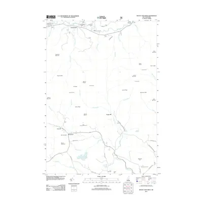
2012 Map of Mount Chocorua
USGS Topo · Published 2012About this map
Mount Chocorua and its surrounding peaks dominate this 2012 survey, which documents the remote settlements and recreation sites within the Sandwich Range. The landscape is defined by the high elevations of Mount Paugus, Bald Mountain, and the Three Sisters, intersected by a complex drainage network including the Swift River and the Wonalancet River. This era shows a clear balance between educational use at the University of New Hampshire Forest Camp and the legacy of local industry at the site of Paugus Mill. Small clusters like Wonalancet and Birch Intervale provide a glimpse into the localized geography of the region, while the presence of Old Slag Camp and several campgrounds such as Jigger Johnson Campground highlight the area's long-standing draw for forestry and mountain trekking. Roads like Locke Falls Rd and Ferncroft Rd link these quiet settlements through the heavy terrain.
Find a feature on this map
66 named features on this map. Tap any name to fly to it.
Don’t see what you’re looking for? This feature index may not catch every label — zoom into the map to look around manually.
Map Details
Editions of this 2012 Mount Chocorua Map
This is the sole edition of this map. No revisions or reprints were ever made.
Other maps of this area

1894 · North Conway
USGS Topo · 1:62,500

1895 · Crawford Notch
USGS Topo · 1:62,500

1896 · Crawford Notch
USGS Topo · 1:62,500

1896 · North Conway
USGS Topo · 1:62,500

1930 · Ossipee Lake
USGS Topo · 1:62,500

1931 · Mt. Chocorua
USGS Topo · 1:62,500

1942 · North Conway
USGS Topo · 1:62,500

1945 · North Conway
USGS Topo · 1:62,500

1946 · Crawford Notch
USGS Topo · 1:62,500

1949 · Portland
USGS Topo · 1:250,000