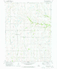
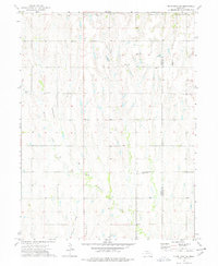
1974 Map of Mount Clare
USGS Topo · Published 1977About this map
Mount Clare stands at the center of this agricultural landscape in Nuckolls County, situated along the Missouri Pacific railroad line. The map illustrates a typical Great Plains township grid, where section lines and farmstead placements are influenced by the drainage patterns of several local waterways. North of the rail line, Elk Creek carves a winding path through the terrain, while the southern half of the quadrangle is defined by the headwaters of Middle Creek, Cottonwood Creek, and Sand Creek. Genealogists may find particular interest in the Beulah Cem, located in the southern portion of the survey near the border of Townships 2 and 3 North. The presence of multiple scattered wells across the township reflects the critical importance of groundwater management for the local farming economy during the mid-1970s.
Find a feature on this map
9 named features on this map. Tap any name to fly to it.
Don’t see what you’re looking for? This feature index may not catch every label — zoom into the map to look around manually.
Map Details
Editions of this 1974 Mount Clare Map
This is the sole edition of this map. No revisions or reprints were ever made.
Other maps of this area

1898 · Superior
USGS Topo · 1:125,000

1955 · Grand Island
USGS Topo · 1:250,000

1957 · Grand Island
USGS Topo · 1:250,000

1958 · Grand Island
USGS Topo · 1:250,000
1960 · Fairfield SE
USGS Topo · 1:24,000

1960 · Deweese
USGS Topo · 1:24,000

1969 · Lawrence
USGS Topo · 1:24,000
1974 · Guide Rock
USGS Topo · 1:24,000
1974 · Superior
USGS Topo · 1:24,000
1974 · Guide Rock NE
USGS Topo · 1:24,000