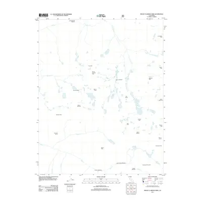
2012 Map of Mount Clarence King
USGS Topo · Published 2012About this map
Mount Clarence King stands as the centerpiece of this high-elevation survey, surrounded by a complex network of glacial basins and alpine passes. The landscape is defined by its dramatic drainage systems, including Woods Creek and its southern fork, which lead into prominent basins like the Sixty Lake Basin and Gardiner Basin. The topographic data highlights critical transit points for early explorers and mountain travelers, such as Kearsarge Pass, Baxter Pass, and Glen Pass. These routes connect remote meadows like Junction Meadow and Vidette Meadow with a series of high-altitude water bodies, most notably the Rae Lakes and Charlotte Lake. The presence of features like Painted Lady and Fin Dome alongside family-named peaks such as Mount Gould and Mount Rixford reflects the era of early mountain surveying and the naming of the high country by various scientific and geographic expeditions.
Find a feature on this map
39 named features on this map. Tap any name to fly to it.
Don’t see what you’re looking for? This feature index may not catch every label — zoom into the map to look around manually.
Map Details
Editions of this 2012 Mount Clarence King Map
This is the sole edition of this map. No revisions or reprints were ever made.
Other maps of this area

1903 · Tehipite
USGS Topo · 1:125,000

1905 · Tehipite
USGS Topo · 1:125,000

1907 · Mt. Whitney
USGS Topo · 1:125,000

1919 · Mt. Whitney
USGS Topo · 1:125,000

1937 · Mt. Whitney
USGS Topo · 1:125,000

1948 · Fresno
USGS Topo · 1:250,000

1953 · Mt. Pinchot
USGS Topo · 1:62,500

1953 · Marion Peak
USGS Topo · 1:62,500

1955 · Fresno
USGS Topo · 1:250,000

1956 · Fresno
USGS Topo · 1:250,000