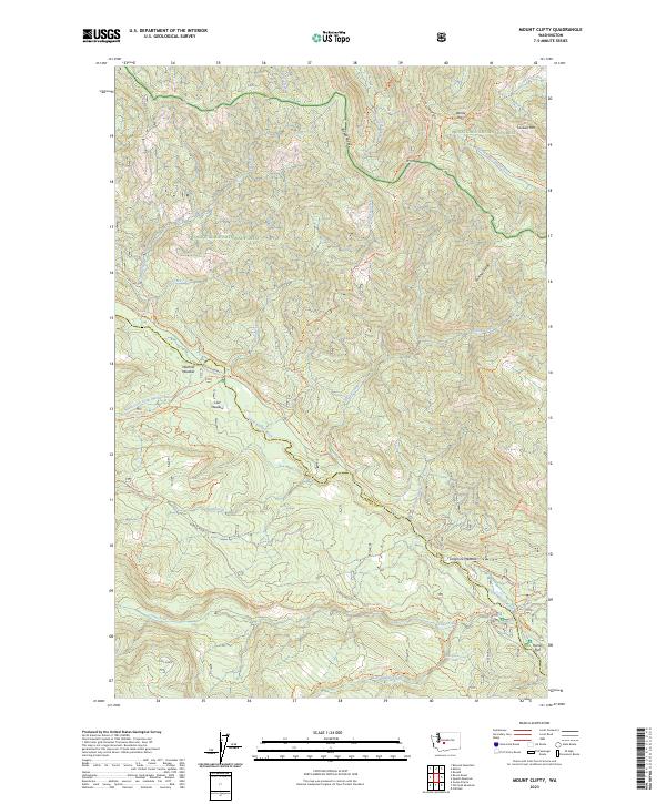
2023 Map of Mount Clifty
USGS Topo · Published 2023About this map
Snoqualmie National Forest and Wenatchee National Forest converge in this high-elevation region of the Cascade Range, marked by the prominent peak of Mt Clifty. The landscape is defined by a dense network of watercourses and recreational paths, including the Little Naches River and Crow Creek. Human presence is concentrated around specific clearings and campsites such as Lost Meadow, Longmire Meadow, and Kaner Flat.
Find a feature on this map
48 named features on this map. Tap any name to fly to it.
Don’t see what you’re looking for? This feature index may not catch every label — zoom into the map to look around manually.
Map Details
Editions of this 2023 Mount Clifty Map
This is the sole edition of this map. No revisions or reprints were ever made.
Other maps of this area

1901 · Snoqualmie Pass
USGS Topo · 1:125,000

1902 · Mount Aix
USGS Topo · 1:125,000

1903 · Snoqualmie
USGS Topo · 1:125,000

1904 · Mt Aix
USGS Topo · 1:125,000

1950 · Yakima
USGS Topo · 1:250,000

1957 · Wenatchee
USGS Topo · 1:250,000

1958 · Yakima
USGS Topo · 1:250,000

1961 · Yakima
USGS Topo · 1:250,000

1961 · Easton
USGS Topo · 1:62,500

1962 · Bumping Lake
USGS Topo · 1:62,500