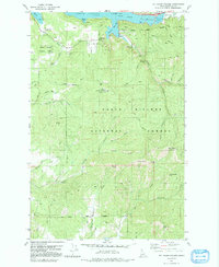
1981 Map of Mount Coeur D'Alene
USGS Topo · Published 1991About this map
Mount Coeur d'Alene Lookout Tower dominates the central landscape of this Kootenai County survey, standing as a high point within the Coeur d'Alene National Forest. The map details the complex shoreline of Coeur d'Alene Lake, where protected inlets like Wolf Lodge Bay, Beauty Bay, and Squaw Bay meet the steep, timbered ridges of the Idaho panhandle. Along the eastern shores, the settlement of Eddyville and various recreation points such as the Beauty Creek Campground indicate the area's development for both seasonal residents and outdoor enthusiasts.
Find a feature on this map
54 named features on this map. Tap any name to fly to it.
Don’t see what you’re looking for? This feature index may not catch every label — zoom into the map to look around manually.
Map Details
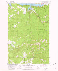
Editions of this 1981 Mount Coeur D'Alene Map
2 editions found
Other maps of this area

1903 · Rathdrum
USGS Topo · 1:125,000

1955 · Spokane
USGS Topo · 1:250,000

1957 · St. Maries
USGS Topo · 1:62,500

1957 · Plummer
USGS Topo · 1:62,500

1957 · Coeur D'Alene
USGS Topo · 1:62,500

1957 · Lane
USGS Topo · 1:62,500

1958 · Spokane
USGS Topo · 1:250,000

1975 · Coeur D'Alene SE
USGS Topo · 1:24,000

1975 · Plummer NE
USGS Topo · 1:24,000
1975 · Lane SW
USGS Topo · 1:24,000