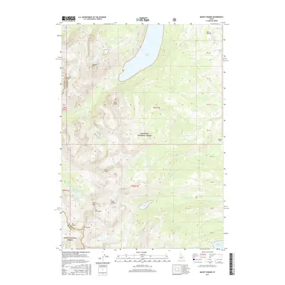
2017 Map of Mount Cramer
USGS Topo · Published 2017About this map
Mt Cramer stands as the central landmark in this high-elevation wilderness within the Sawtooth National Forest and Boise National Forest. The landscape is defined by a dense concentration of alpine waters and dramatic granite spires along the Custer and Boise county line. Large bodies like Redfish Lake and Yellow Belly Lake dominate the lower elevations, while the higher terrain is pocketed with smaller glacial features including Profile Lake, the Saddleback Lakes, and the tiered system of Lower Cramer Lake, Middle Cramer Lake, and Upper Cramer Lake.
Find a feature on this map
41 named features on this map. Tap any name to fly to it.
Don’t see what you’re looking for? This feature index may not catch every label — zoom into the map to look around manually.
Map Details
Editions of this 2017 Mount Cramer Map
This is the sole edition of this map. No revisions or reprints were ever made.
Other maps of this area

1891 · Bear Valley
USGS Topo · 1:125,000

1893 · Bear Valley
USGS Topo · 1:125,000

1894 · Rocky Bar
USGS Topo · 1:125,000

1900 · Sawtooth
USGS Topo · 1:125,000

1919 · Custer
USGS Topo · 1:125,000

1922 · Custer
USGS Topo · 1:125,000

1955 · Hailey
USGS Topo · 1:250,000

1957 · Challis
USGS Topo · 1:250,000

1959 · Hailey
USGS Topo · 1:250,000

1960 · Challis
USGS Topo · 1:250,000