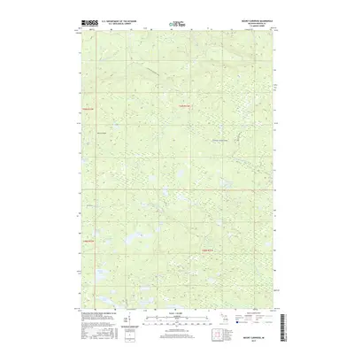
2017 Map of Mount Curwood
USGS Topo · Published 2017About this map
Mt Curwood dominates this high-elevation stretch of Baraga County, marking a significant topographical point in Michigan's Upper Peninsula. The landscape is defined by a complex network of waterways, including the Slate River, Ravine River, and the headwaters of the Peshekee River. This 2017 survey reveals a terrain primarily shaped by forestry and industrial transit, most notably indicated by the Huron Bay-Peshekee Grade, a historic transportation corridor that bisects the wilderness. Numerous small lakes are scattered throughout the quadrangle, from the isolated High Life Lake and Jims Lake in the south to Camp Ten Lake near the Peshekee Grade Rd. The presence of Celotex Rd further underscores the region's connection to timber and land management industries that have long utilized these remote northern Michigan highlands.
Find a feature on this map
25 named features on this map. Tap any name to fly to it.
Don’t see what you’re looking for? This feature index may not catch every label — zoom into the map to look around manually.
Map Details
Editions of this 2017 Mount Curwood Map
This is the sole edition of this map. No revisions or reprints were ever made.
Other maps of this area

1954 · Skanee
USGS Topo · 1:62,500

1954 · Keweenaw Bay
USGS Topo · 1:62,500

1955 · Herman
USGS Topo · 1:62,500

1956 · Three Lakes
USGS Topo · 1:24,000

1956 · Michigamme
USGS Topo · 1:62,500

1956 · Michigamme
USGS Topo · 1:24,000

1958 · Iron River
USGS Topo · 1:250,000

1960 · Iron River
USGS Topo · 1:250,000

1961 · Iron River
USGS Topo · 1:250,000

1967 · Iron River
USGS Topo · 1:250,000