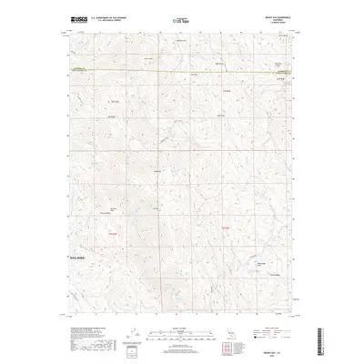
2018 Map of Mount Day
USGS Topo · Published 2018About this map
Mt Day and Black Mtn anchor this high-elevation landscape within the Diablo Range, marking a complex network of ridges and canyons east of San Jose. The terrain is defined by dramatic elevation changes where Arroyo Hondo and Alameda Cr have carved deep drainages between prominent landmarks like Poverty Ridge and Beartrap Ridge. This 2018 survey reveals a sparsely populated backcountry where small settlements like Hamilton Flat and isolated clearings such as Van Horn Flats represent the few pockets of level ground. Winding access routes, including Mountain Day Rd and Kincaid Rd, trace the natural contours of the land, providing a record of the modern transportation network connecting remote peaks like Mt Lewis to the Santa Clara Valley.
Find a feature on this map
38 named features on this map. Tap any name to fly to it.
Don’t see what you’re looking for? This feature index may not catch every label — zoom into the map to look around manually.
Map Details
Editions of this 2018 Mount Day Map
This is the sole edition of this map. No revisions or reprints were ever made.
Other maps of this area

1889 · San Jose
USGS Topo · 1:62,500

1897 · San Jose
USGS Topo · 1:62,500

1897 · Mt. Hamilton
USGS Topo · 1:62,500

1899 · San Jose
USGS Topo · 1:62,500

1906 · Pleasanton
USGS Topo · 1:62,500

1907 · Tesla
USGS Topo · 1:62,500

1941 · Pleasanton
USGS Topo · 1:62,500

1942 · Mt. Hamilton
USGS Topo · 1:62,500

1942 · Altamont
USGS Topo · 1:62,500

1943 · Pleasanton
USGS Topo · 1:62,500