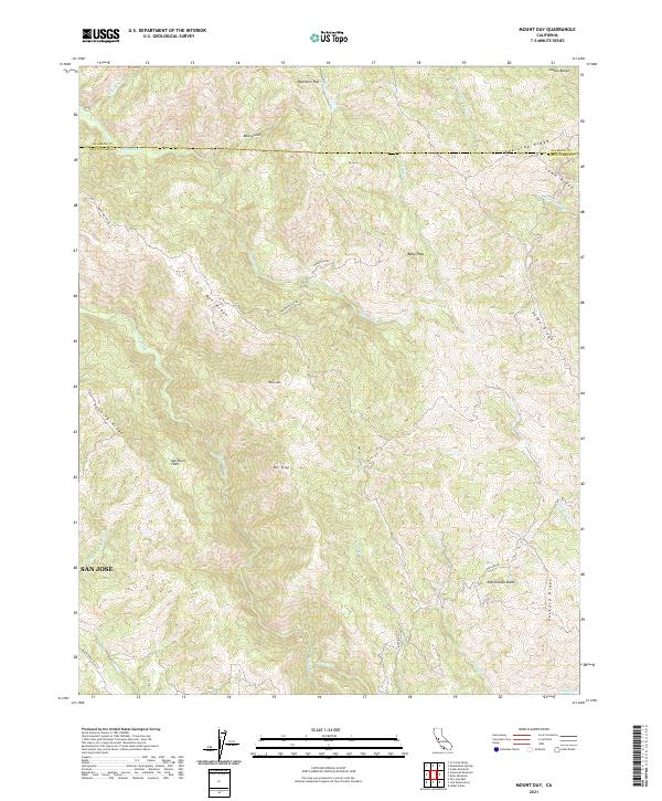
2021 Map of Mount Day
USGS Topo · Published 2021About this map
The Diablo Range dominates this portion of the interior Coast Ranges, where the boundary between Alameda and Santa Clara counties follows the high ridgelines of Beartrap Ridge and Lamb Ridge. The landscape is defined by a series of steep, parallel ridges including Oak Ridge, Valpe Ridge, and Packard Ridge, separated by deeply incised watercourses like Arroyo Hondo and Alameda Cr.
Find a feature on this map
37 named features on this map. Tap any name to fly to it.
Don’t see what you’re looking for? This feature index may not catch every label — zoom into the map to look around manually.
Map Details
Editions of this 2021 Mount Day Map
This is the sole edition of this map. No revisions or reprints were ever made.
Other maps of this area

1889 · San Jose
USGS Topo · 1:62,500

1897 · San Jose
USGS Topo · 1:62,500

1897 · Mt. Hamilton
USGS Topo · 1:62,500

1899 · San Jose
USGS Topo · 1:62,500

1906 · Pleasanton
USGS Topo · 1:62,500

1907 · Tesla
USGS Topo · 1:62,500

1941 · Pleasanton
USGS Topo · 1:62,500

1942 · Mt. Hamilton
USGS Topo · 1:62,500

1942 · Altamont
USGS Topo · 1:62,500

1943 · Pleasanton
USGS Topo · 1:62,500