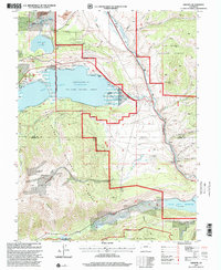
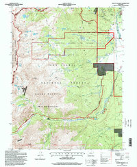
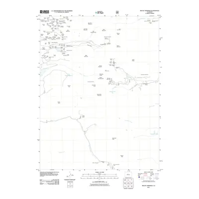
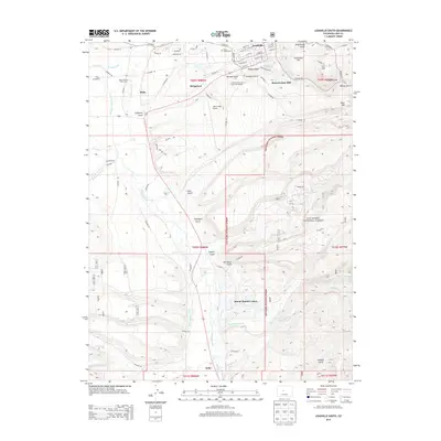
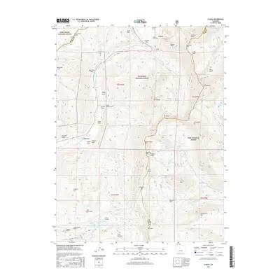
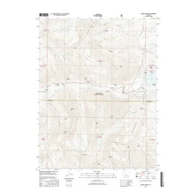
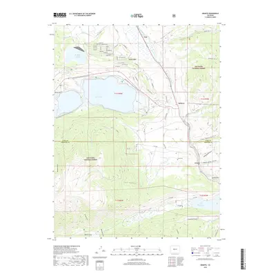
1935 Map of Mount Elbert
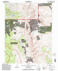
USGS Topo · Published 1963About this map
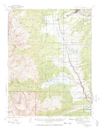
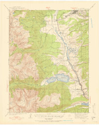
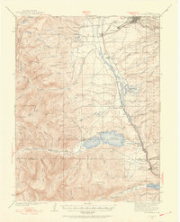
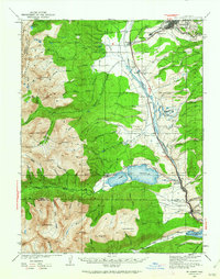
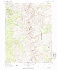
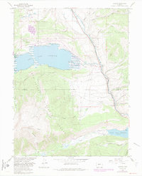
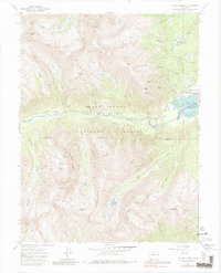
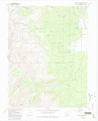
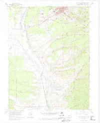
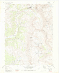
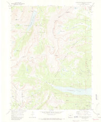
Twin Lakes Reservoir dominates the central landscape of this 1930s-era survey, serving as a focal point for the headwaters of the Arkansas River. The region reflects a transition from early industrial extraction to conservation and recreation, evidenced by the presence of the Columbine Mine in the south alongside the U S Fish Hatchery and the Mt Massive Trout Club. Transportation is anchored by the Denver and Rio Grande Western Railroad, which snakes through the valley past small tracks like Malta, Kobe, and Bucktown. To the west, the Continental Divide separates the drainage from Pitkin County, where high alpine peaks like Mt Elbert and Mt Massive overlook early settlements such as Hayden Ranch and Pullman Camp. This map effectively documents the mid-century infrastructure of the High Rockies before modern development altered these mountain communities.
Find a feature on this map
91 named features on this map. Tap any name to fly to it.
Don’t see what you’re looking for? This feature index may not catch every label — zoom into the map to look around manually.
Map Details
Editions of this 1935 Mount Elbert Map
4 editions found
Historical Maps of Leadville Through Time
52 maps found
1935 Mount Elbert
Lake County, CO

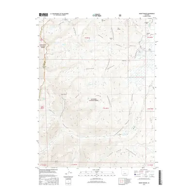
1938 Mount Elbert
Lake County, CO

1939 Mount Elbert
Lake County, CO
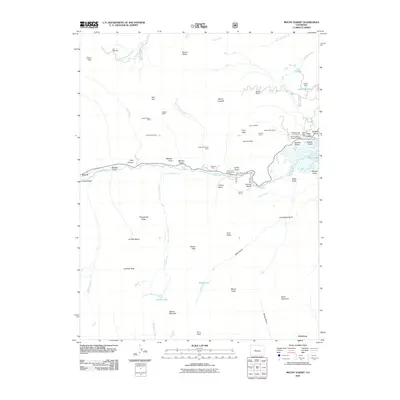
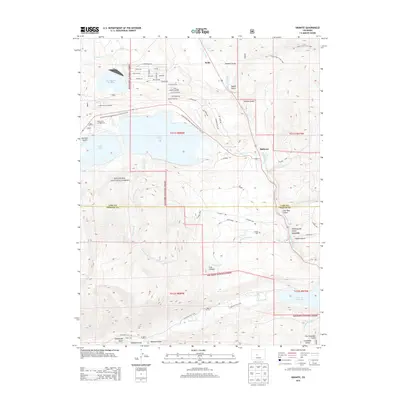
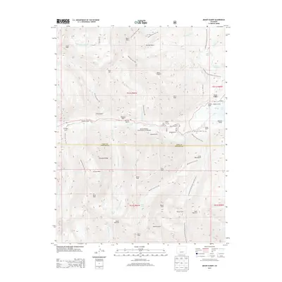
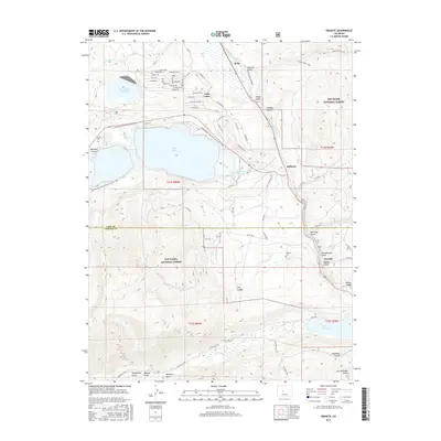
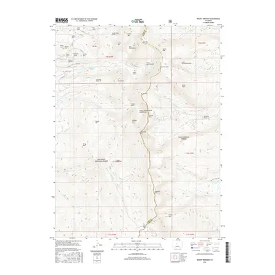
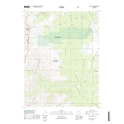
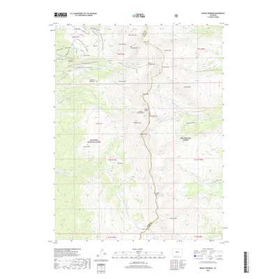
1961 Mount Sherman
Lake County, CO
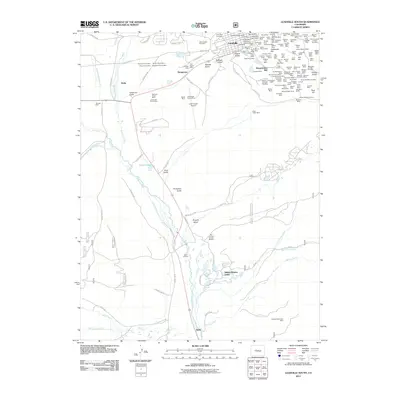
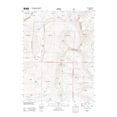
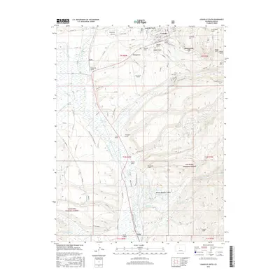
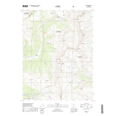
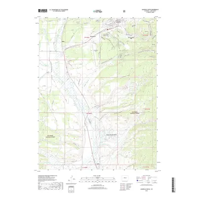
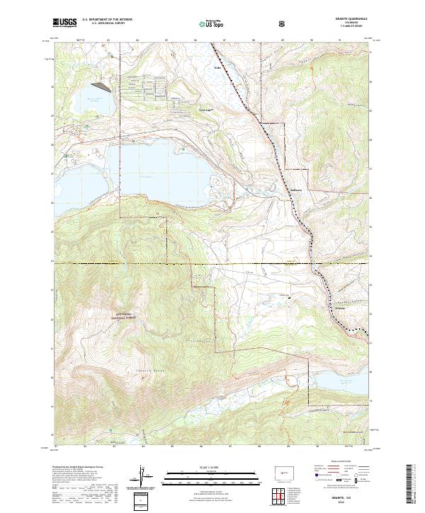
1967 Granite
Lake County, CO
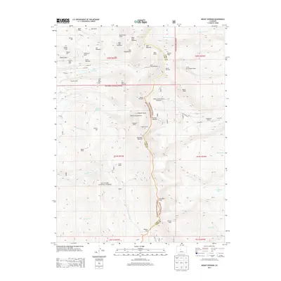
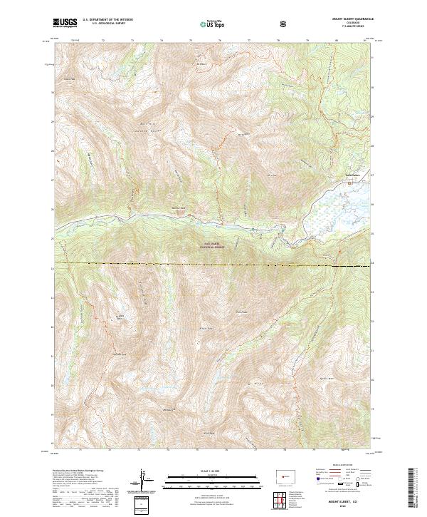
1967 Mount Elbert
Lake County, CO
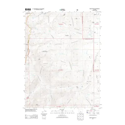
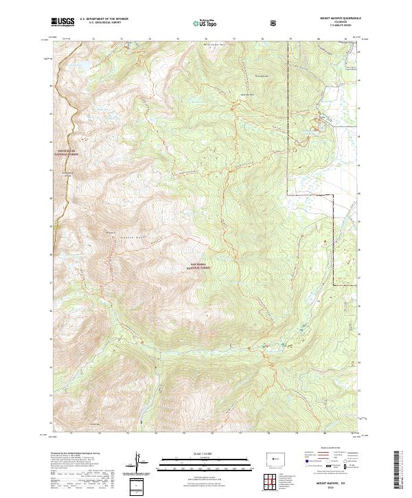
1967 Mount Massive
Lake County, CO
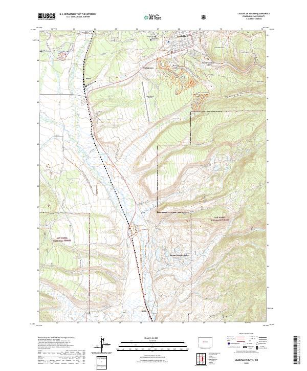
1969 Leadville South
Lake County, CO
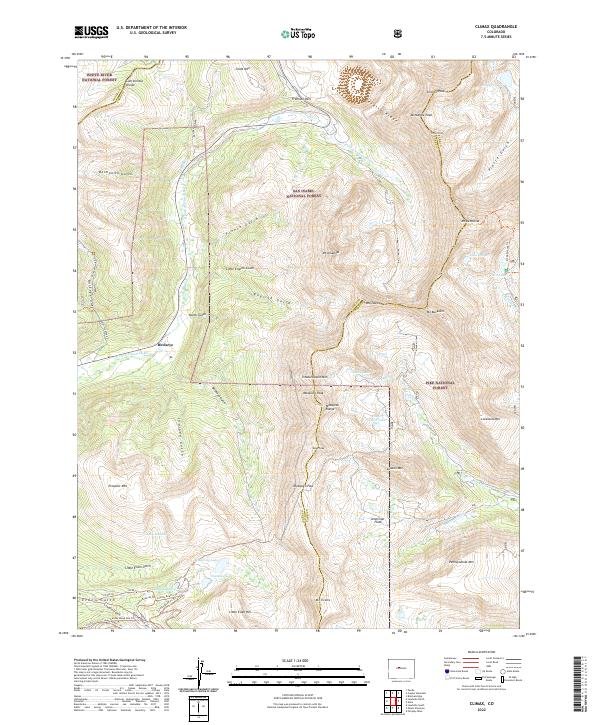
1970 Climax
Lake County, CO
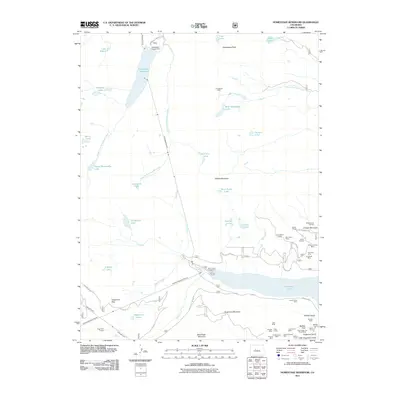
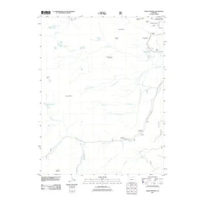
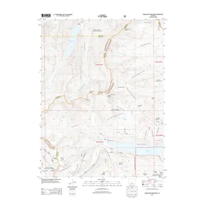
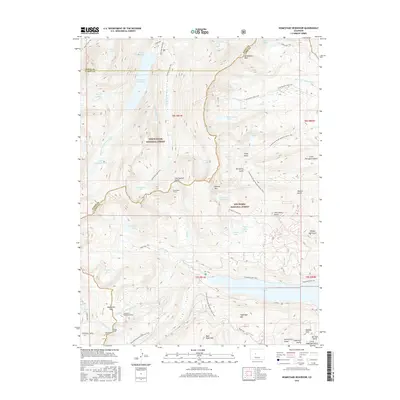
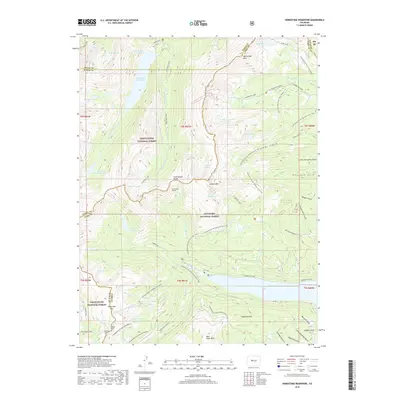
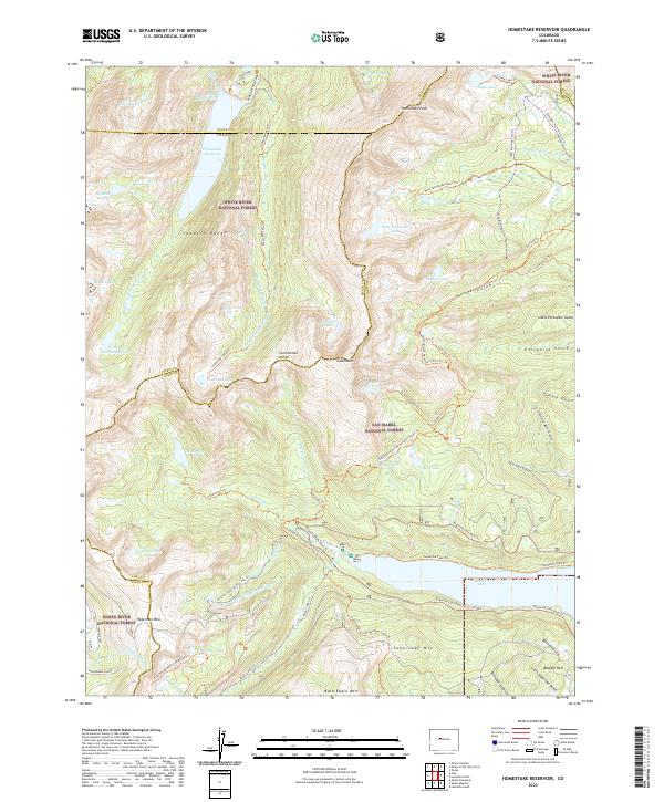
1970 Homestake Reservoir
Lake County, CO
1994 Climax
Lake County, CO
1994 Granite
Lake County, CO
1994 Homestake Reservoir
Lake County, CO
1994 Leadville South
Lake County, CO
1994 Mount Elbert
Lake County, CO
1994 Mount Massive
Lake County, CO
1994 Mount Sherman
Lake County, CO
2011 Climax
Lake County, CO
2011 Granite
Lake County, CO
2011 Homestake Reservoir
Lake County, CO
2011 Leadville South
Lake County, CO
2011 Mount Elbert
Lake County, CO
2011 Mount Massive
Lake County, CO
2011 Mount Sherman
Lake County, CO
2013 Climax
Lake County, CO
2013 Granite
Lake County, CO
2013 Homestake Reservoir
Lake County, CO
2013 Leadville South
Lake County, CO
2013 Mount Elbert
Lake County, CO
2013 Mount Massive
Lake County, CO
2013 Mount Sherman
Lake County, CO
2016 Climax
Lake County, CO
2016 Granite
Lake County, CO
2016 Homestake Reservoir
Lake County, CO
2016 Leadville South
Lake County, CO
2016 Mount Elbert
Lake County, CO
2016 Mount Massive
Lake County, CO
2016 Mount Sherman
Lake County, CO
2019 Climax
Lake County, CO
2019 Granite
Lake County, CO
2019 Homestake Reservoir
Lake County, CO
2019 Leadville South
Lake County, CO
2019 Mount Elbert
Lake County, CO
2019 Mount Massive
Lake County, CO
2019 Mount Sherman
Lake County, CO
2022 Climax
Lake County, CO
2022 Granite
Lake County, CO
2022 Homestake Reservoir
Lake County, CO
2022 Leadville South
Lake County, CO
2022 Mount Elbert
Lake County, CO
2022 Mount Massive
Lake County, CO
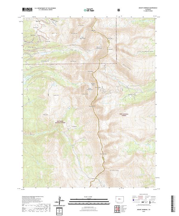
2022 Mount Sherman
Lake County, CO