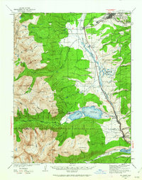
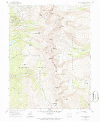
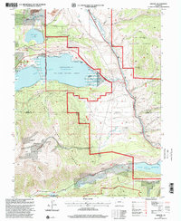
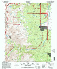
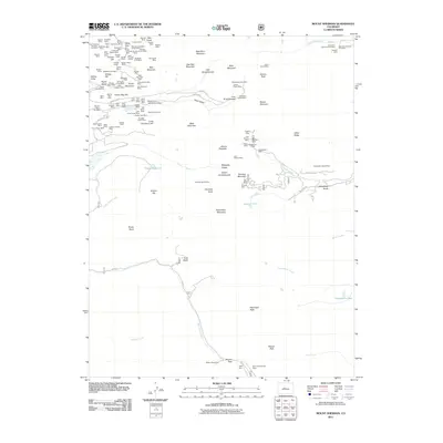
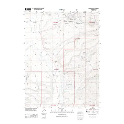
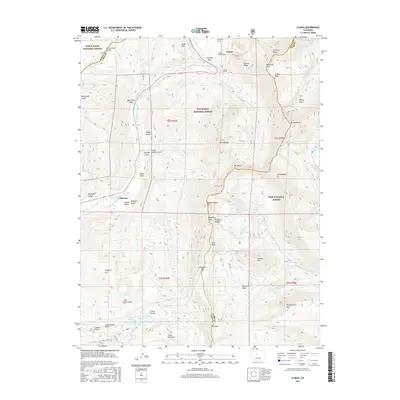
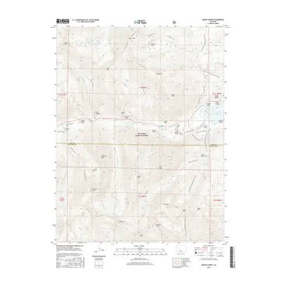
1935 Map of Mt Elbert
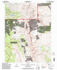
USGS Topo · Published 1962About this map
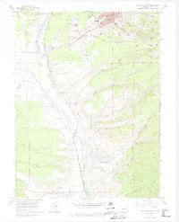
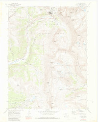
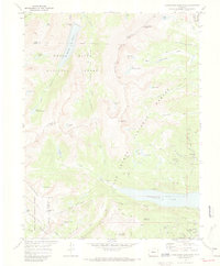
The high-altitude peaks of Mt Elbert and Mt Massive dominate this mid-1930s survey of Lake and Chaffee Counties. Along the Arkansas River valley, the infrastructure of the mining and transit economy is clearly defined, following the route of the Denver and Rio Grande Western RR. The survey records a network of established operations and small settlements, including Leadville, Malta, and the industrial activity near Carbonate Hill.
Find a feature on this map
85 named features on this map. Tap any name to fly to it.
Don’t see what you’re looking for? This feature index may not catch every label — zoom into the map to look around manually.
Map Details
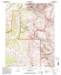
Editions of this 1935 Mt Elbert Map
4 editions found
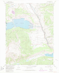
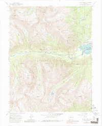
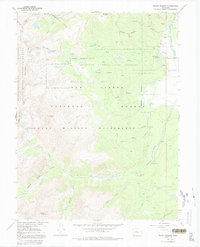
Historical Maps of Leadville Through Time
52 maps found
1935 Mount Elbert
Lake County, CO

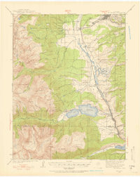
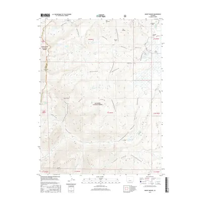
1938 Mount Elbert
Lake County, CO

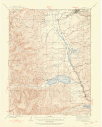
1939 Mount Elbert
Lake County, CO
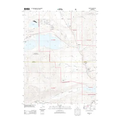
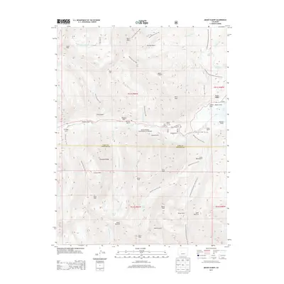
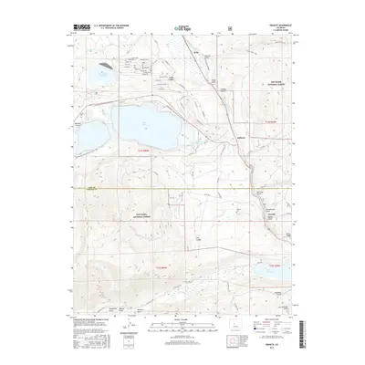
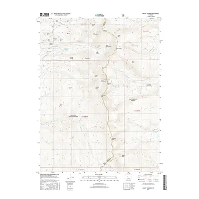
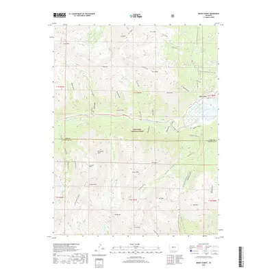
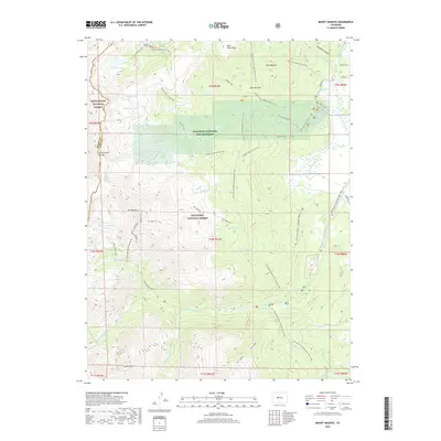
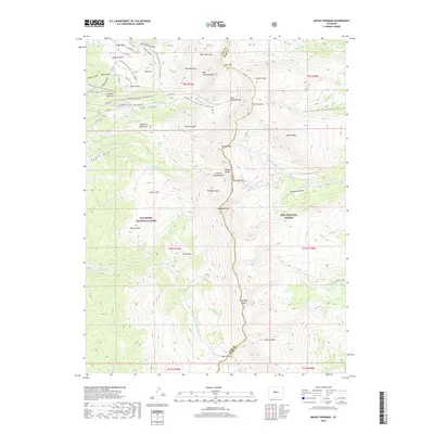
1961 Mount Sherman
Lake County, CO
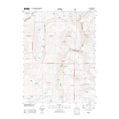
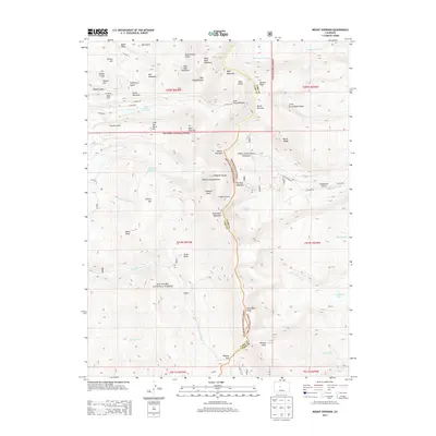
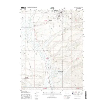
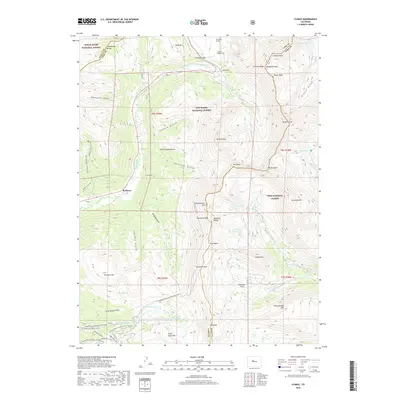
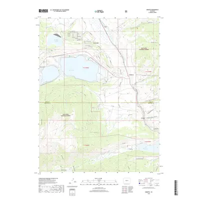
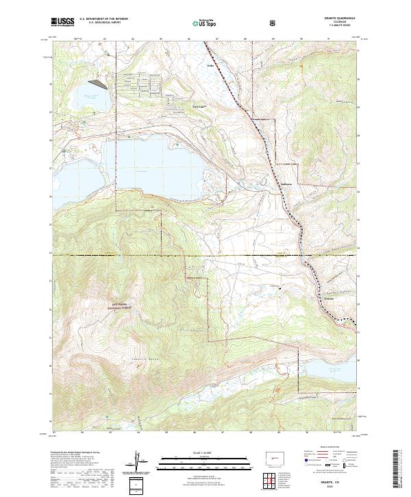
1967 Granite
Lake County, CO
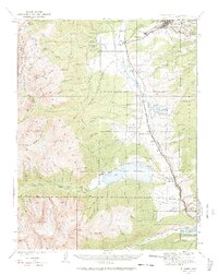
1967 Mount Elbert
Lake County, CO
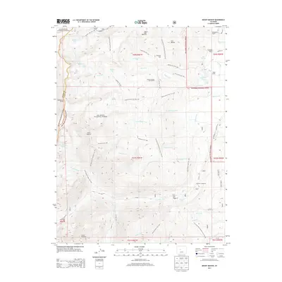
1967 Mount Massive
Lake County, CO
1969 Leadville South
Lake County, CO
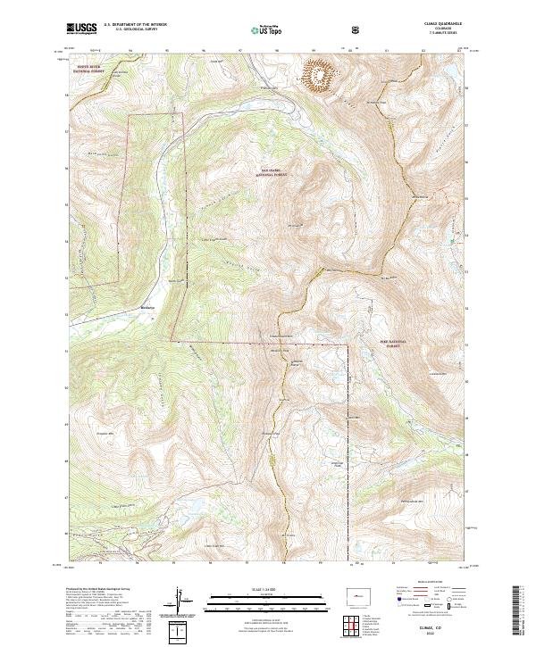
1970 Climax
Lake County, CO
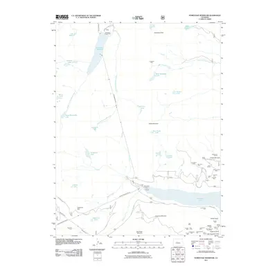
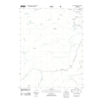
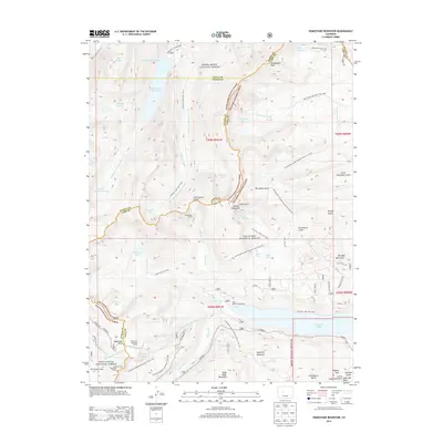
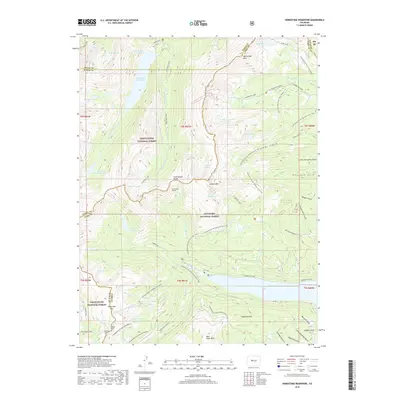
1970 Homestake Reservoir
Lake County, CO
1994 Climax
Lake County, CO
1994 Granite
Lake County, CO
1994 Homestake Reservoir
Lake County, CO
1994 Leadville South
Lake County, CO
1994 Mount Elbert
Lake County, CO
1994 Mount Massive
Lake County, CO
1994 Mount Sherman
Lake County, CO
2011 Climax
Lake County, CO
2011 Granite
Lake County, CO
2011 Homestake Reservoir
Lake County, CO
2011 Leadville South
Lake County, CO
2011 Mount Elbert
Lake County, CO
2011 Mount Massive
Lake County, CO
2011 Mount Sherman
Lake County, CO
2013 Climax
Lake County, CO
2013 Granite
Lake County, CO
2013 Homestake Reservoir
Lake County, CO
2013 Leadville South
Lake County, CO
2013 Mount Elbert
Lake County, CO
2013 Mount Massive
Lake County, CO
2013 Mount Sherman
Lake County, CO
2016 Climax
Lake County, CO
2016 Granite
Lake County, CO
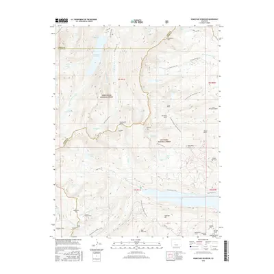
2016 Homestake Reservoir
Lake County, CO
2016 Leadville South
Lake County, CO
2016 Mount Elbert
Lake County, CO
2016 Mount Massive
Lake County, CO
2016 Mount Sherman
Lake County, CO
2019 Climax
Lake County, CO
2019 Granite
Lake County, CO
2019 Homestake Reservoir
Lake County, CO
2019 Leadville South
Lake County, CO
2019 Mount Elbert
Lake County, CO
2019 Mount Massive
Lake County, CO
2019 Mount Sherman
Lake County, CO
2022 Climax
Lake County, CO
2022 Granite
Lake County, CO
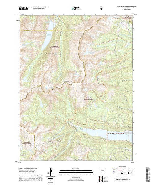
2022 Homestake Reservoir
Lake County, CO
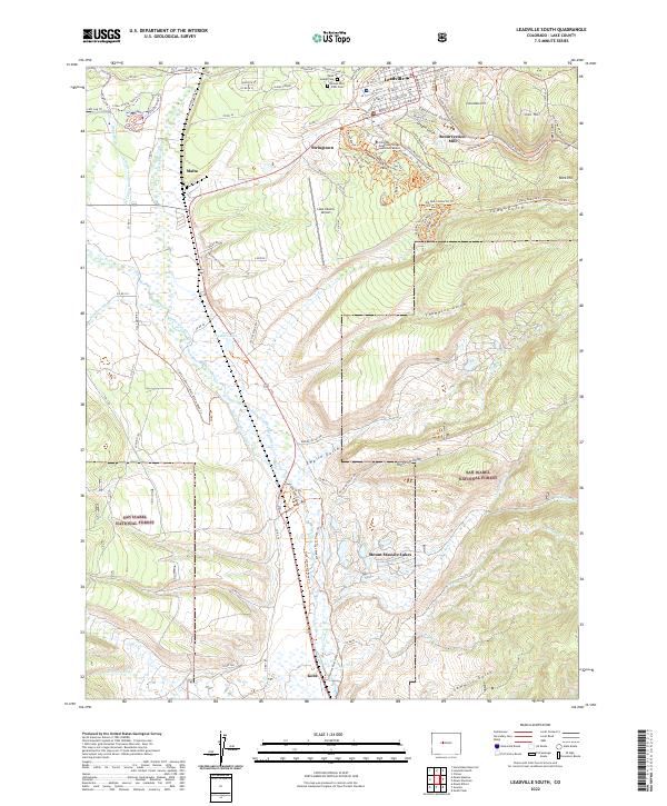
2022 Leadville South
Lake County, CO
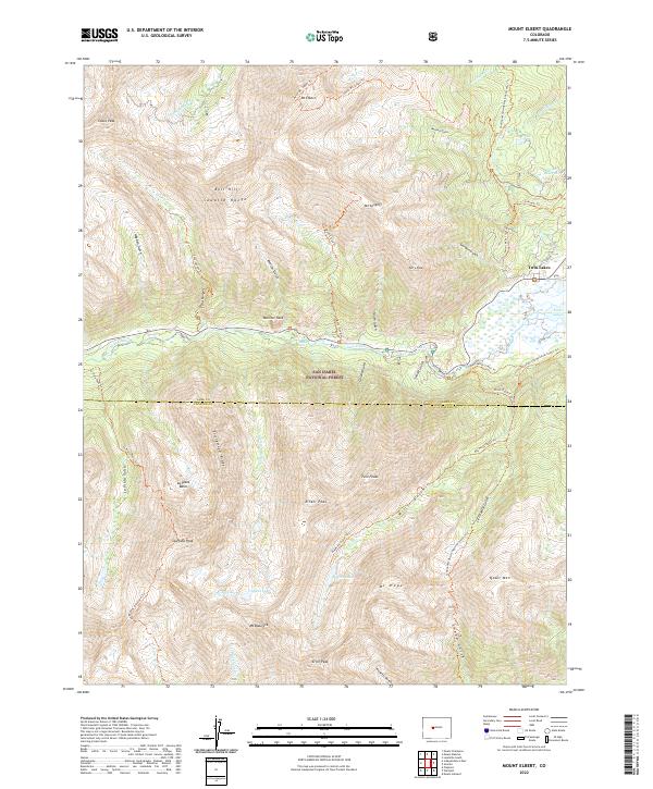
2022 Mount Elbert
Lake County, CO
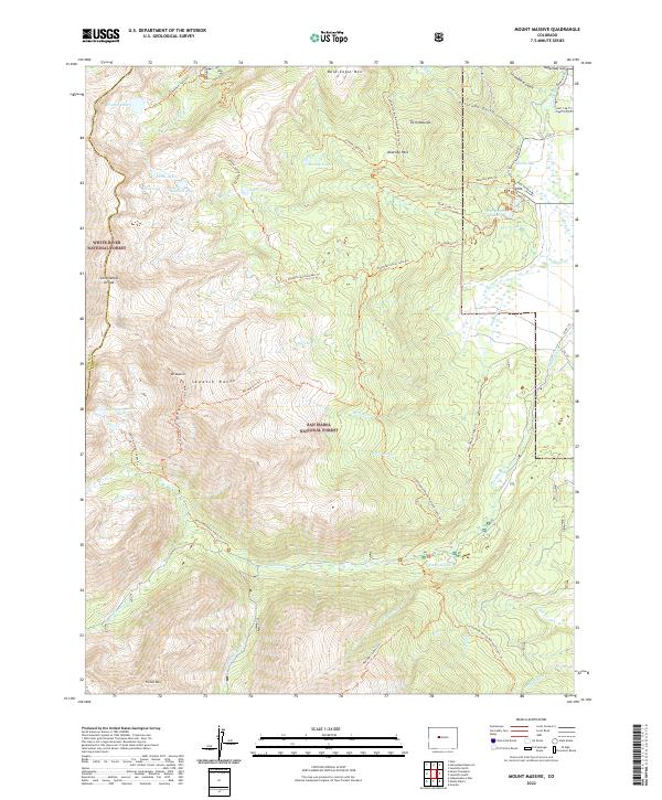
2022 Mount Massive
Lake County, CO
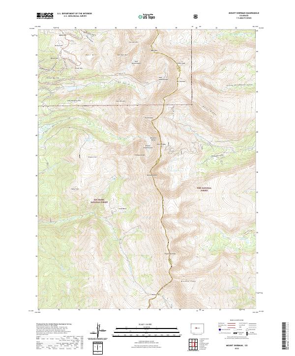
2022 Mount Sherman
Lake County, CO