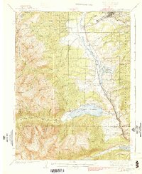
1939 Map of Mount Elbert
USGS Topo · Published 1939About this map
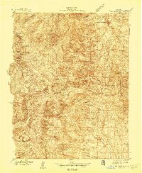
Mt Elbert and Mt Massive dominate this high-altitude landscape of the Sawatch Range, where early twentieth-century mining and infrastructure trace the steep contours of the Continental Divide. The eastern slopes descend toward the upper reaches of the Arkansas River, which serves as a vital corridor for the Denver and Rio Grande Western RR. Settlement is concentrated in small communities like Malta, Stringtown, and Bucktown, often located near significant industry and conservation efforts such as the US Fish Hatchery and US Fish Nursery. To the south, the Twin Lakes reservoir provides a central landmark for the area, surrounded by smaller camps and schools like Soda Springs Sch. This map documents a period when rugged alpine terrain was actively managed through mining at the Columbine Mine and recreational ventures like the Mt Massive Trout Club.
Find a feature on this map
90 named features on this map. Tap any name to fly to it.
Don’t see what you’re looking for? This feature index may not catch every label — zoom into the map to look around manually.
Map Details
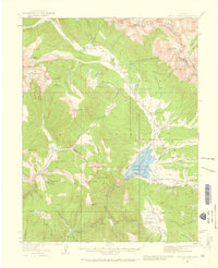
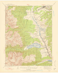
Editions of this 1939 Mount Elbert Map
2 editions found

Other maps of this area

1889 · Leadville
USGS Topo · 1:125,000

1891 · Leadville
USGS Topo · 1:125,000

1909 · Mount Jackson
USGS Topo · 1:125,000

1911 · Mount Jackson
USGS Topo · 1:125,000

1934 · Climax
USGS Topo · 1:48,000
1934 · Taylor Park
USGS Topo · 1:62,500
1935 · Mount Elbert
USGS Topo · 1:62,500
1937 · Taylor Park
USGS Topo · 1:62,500
1938 · Mt. Lincoln
USGS Topo · 1:48,000

1938 · Mount Elbert
USGS Topo · 1:62,500