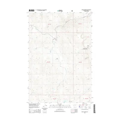
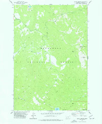
2014 Map of Mount Emerine
USGS Topo · Published 2014About this map
Mt Emerine and the surrounding high country of the Deerlodge National Forest define this landscape within Granite County. The terrain is a network of drainage basins and ridges, where the headwaters of the W Fork Rock Cr and N Fork Rock Cr carve through the mountain front. Human presence is largely defined by the winding path of State Hwy 38 and the historic Skalkaho Rd, which provide access to the high-altitude basins and interior forest.
Find a feature on this map
23 named features on this map. Tap any name to fly to it.
Don’t see what you’re looking for? This feature index may not catch every label — zoom into the map to look around manually.
Map Details
Editions of this 2014 Mount Emerine Map
This is the sole edition of this map. No revisions or reprints were ever made.
Other maps of this area

1909 · Sapphire
USGS Topo · 1:125,000

1947 · Butte
USGS Topo · 1:250,000

1958 · Butte
USGS Topo · 1:250,000

1960 · Butte
USGS Topo · 1:250,000

1962 · Butte
USGS Topo · 1:250,000

1971 · Stony Creek
USGS Topo · 1:24,000
1974 · Stony Creek
USGS Topo · 1:24,000
1974 · Skalkaho Pass
USGS Topo · 1:24,000
1974 · Burnt Fork Lake
USGS Topo · 1:24,000
1974 · Mount Emerine
USGS Topo · 1:24,000