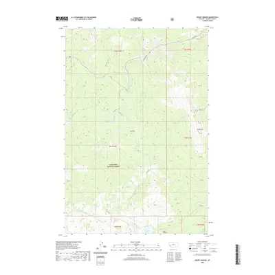
2020 Map of Mount Emerine
USGS Topo · Published 2020About this map
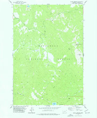
Deerlodge National Forest covers much of this high-elevation region in Granite County, where mountain peaks and drainage basins define the wilderness character. The prominent summit of Mt Emerine stands at the eastern edge, while Point Lookout provides a vantage over the southern reaches of the quadrangle. Water sources are critical here, with Medicine Lake and Fuse Lake tucked into the mountain slopes, feeding a network of streams including Sand Basin Cr, Duncie Cr, and the upper reaches of W Fork Rock Cr.
Find a feature on this map
33 named features on this map. Tap any name to fly to it.
Don’t see what you’re looking for? This feature index may not catch every label — zoom into the map to look around manually.
Map Details
Editions of this 2020 Mount Emerine Map
This is the sole edition of this map. No revisions or reprints were ever made.
Other maps of this area

1909 · Sapphire
USGS Topo · 1:125,000

1947 · Butte
USGS Topo · 1:250,000

1958 · Butte
USGS Topo · 1:250,000

1960 · Butte
USGS Topo · 1:250,000

1962 · Butte
USGS Topo · 1:250,000

1971 · Stony Creek
USGS Topo · 1:24,000
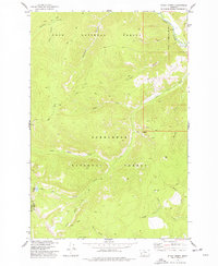
1974 · Stony Creek
USGS Topo · 1:24,000
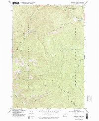
1974 · Skalkaho Pass
USGS Topo · 1:24,000
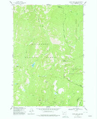
1974 · Burnt Fork Lake
USGS Topo · 1:24,000
1974 · Mount Emerine
USGS Topo · 1:24,000