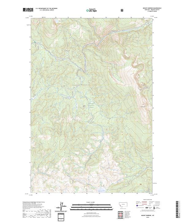
2024 Map of Mount Emerine
USGS Topo · Published 2024About this map
Mt Emerine and the high ridges of the Sapphire Mountains dominate this high-elevation landscape within the Deerlodge National Forest. The map documents a complex drainage system where the North Fork Rock Creek and West Fork Rock Creek converge, shaping the local topography. This modern survey shows the essential road network providing access to these peaks, including Skalkaho Rd and several primitive routes like Co Rd 5071. Notable water features such as Medicine Lake and the Emerine Spring highlight the hydrologic character of the basin areas, particularly around Sand Basin. The map serves as a contemporary record of the forest's interior, useful for tracking the enduring geography of this part of Granite County.
Find a feature on this map
21 named features on this map. Tap any name to fly to it.
Don’t see what you’re looking for? This feature index may not catch every label — zoom into the map to look around manually.
Map Details
Editions of this 2024 Mount Emerine Map
This is the sole edition of this map. No revisions or reprints were ever made.
Other maps of this area

1909 · Sapphire
USGS Topo · 1:125,000

1947 · Butte
USGS Topo · 1:250,000

1958 · Butte
USGS Topo · 1:250,000

1960 · Butte
USGS Topo · 1:250,000

1962 · Butte
USGS Topo · 1:250,000

1971 · Stony Creek
USGS Topo · 1:24,000
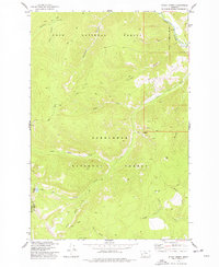
1974 · Stony Creek
USGS Topo · 1:24,000
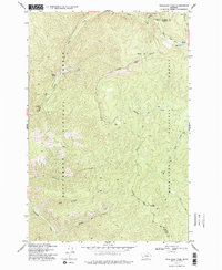
1974 · Skalkaho Pass
USGS Topo · 1:24,000
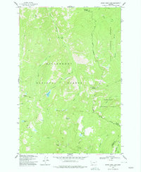
1974 · Burnt Fork Lake
USGS Topo · 1:24,000
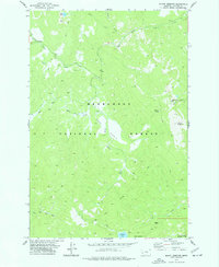
1974 · Mount Emerine
USGS Topo · 1:24,000