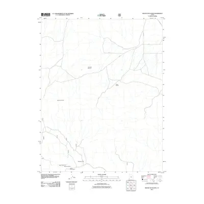
2011 Map of Mount Escalante
USGS Topo · Published 2011About this map
Mount Escalante and Haystack Mountain dominate this corner of Iron County, defining a landscape shaped by significant topographic relief and drainage systems. The survey details a network of natural watercourses including White Rocks Wash and several named draws such as Telegraph Draw and Studhorse Draw, which funnel seasonal runoff through the high desert terrain. Human presence is marked primarily by rural infrastructure, including Old Modena Rd and a grid of numbered section roads like 800 N and 10400 West. This digital-era map reflects the modern management of these open lands, where the natural features of Broad Hollow and Open Ridge Draw remain the most prominent landmarks in an area characterized by its lack of dense development.
Find a feature on this map
17 named features on this map. Tap any name to fly to it.
Don’t see what you’re looking for? This feature index may not catch every label — zoom into the map to look around manually.
Map Details
Editions of this 2011 Mount Escalante Map
This is the sole edition of this map. No revisions or reprints were ever made.
Other maps of this area

1885 · St. George
USGS Topo · 1:250,000

1885 · Pioche
USGS Topo · 1:250,000

1886 · Pioche
USGS Topo · 1:250,000

1891 · St. George
USGS Topo · 1:250,000

1953 · Cedar City
USGS Topo · 1:250,000

1954 · Caliente
USGS Topo · 1:250,000

1958 · Cedar City
USGS Topo · 1:250,000

1959 · Caliente
USGS Topo · 1:250,000

1962 · Cedar City
USGS Topo · 1:250,000
1972 · Uvada
USGS Topo · 1:24,000