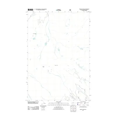
2011 Map of Mount Evans
USGS Topo · Published 2011About this map
Mount Evans and Mount Howe dominate this high-elevation portion of Deer Lodge County, where a complex network of glacial cirques and basins feeds numerous drainage systems. The landscape is characterized by its high-country water features, ranging from the cluster at Fourmile Basin Lakes to the sequestered Lake of the Isle. These basins serve as the headwaters for several significant waterways, including Storm Lake Creek and the long descent of Twelvemile Creek.
Find a feature on this map
19 named features on this map. Tap any name to fly to it.
Don’t see what you’re looking for? This feature index may not catch every label — zoom into the map to look around manually.
Map Details
Editions of this 2011 Mount Evans Map
This is the sole edition of this map. No revisions or reprints were ever made.
Other maps of this area

1908 · Philipsburg
USGS Topo · 1:125,000

1947 · Butte
USGS Topo · 1:250,000

1955 · Dillon
USGS Topo · 1:250,000

1957 · Dillon
USGS Topo · 1:250,000

1958 · Butte
USGS Topo · 1:250,000

1958 · Dillon
USGS Topo · 1:250,000

1960 · Butte
USGS Topo · 1:250,000

1962 · Butte
USGS Topo · 1:250,000

1962 · Dillon
USGS Topo · 1:250,000

1962 · Lincoln Gulch
USGS Topo · 1:24,000