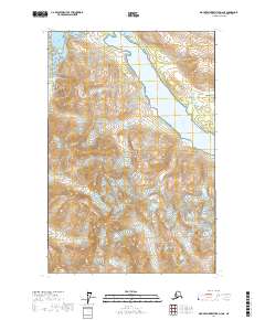
2017 Map of Mount Fairweather D-2 NE
USGS Topo · Published 2017About this map
Glacier Bay National Park dominates this landscape, revealing a coastline defined by glacial retreat and dramatic elevation changes. The map shows the massive Carroll Glacier feeding into the northwestern waters, while the Wachusett Inlet cuts deep into the terrain toward the southeast. This survey illustrates the intricate relationship between high mountain peaks and the moving ice that shapes the region, featuring prominent landmarks like Mt Merriam, Mt Wordie, and the jagged Emerson Peaks. Several smaller ice bodies, including Loomis Glacier and Baldwin Glacier, cling to the steep slopes of the Bruce Hills and the expansive Cushing Plateau, providing a clear look at the ice-field geography of the Hoonah-Angoon Census Area in the early 21st century.
Find a feature on this map
16 named features on this map. Tap any name to fly to it.
Don’t see what you’re looking for? This feature index may not catch every label — zoom into the map to look around manually.
Map Details
Editions of this 2017 Mount Fairweather D-2 NE Map
This is the sole edition of this map. No revisions or reprints were ever made.
Other maps of this area

1948 · Mount Fairweather D-1
USGS Topo · 1:63,360

1948 · Mount Fairweather D-2
USGS Topo · 1:63,360

1950 · Mount Fairweather D-2
USGS Topo · 1:63,360

1951 · Mt Fairweather
USGS Topo · 1:250,000

1952 · Skagway
USGS Topo · 1:250,000

1954 · Mount Fairweather D-1
USGS Topo · 1:63,360
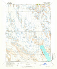
1961 · Skagway A-4
USGS Topo · 1:63,360
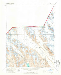
1961 · Skagway A-5
USGS Topo · 1:63,360

1961 · Mt Fairweather
USGS Topo · 1:250,000

1961 · Skagway
USGS Topo · 1:250,000