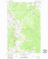
1968 Map of Mount Geduhn
USGS Topo · Published 1987About this map
The high alpine crest of the Livingston Range dominates this 1960s survey of Glacier National Park, where the Continental Divide winds between massive summits like Mount Geduhn and Anaconda Peak. This terrain is defined by its glacial history, evidenced by the presence of Two Ocean Glacier and several remote tarns including Nahsukin Lake, Redhorn Lake, and Lake Evangeline. Foot travel was the primary means of navigating this wilderness, as shown by the Waterton Valley Trail and the Mc Donald Trail which connect the high passes. A remote Patrol Cabin near the Waterton River and the Camas Campground in the south provide rare evidence of human infrastructure in a landscape otherwise shaped by drainage systems like Mc Donald Creek and Anaconda Creek. The map records a pristine era of the park's interior before modern climate shifts significantly altered its glacial features.
Find a feature on this map
29 named features on this map. Tap any name to fly to it.
Don’t see what you’re looking for? This feature index may not catch every label — zoom into the map to look around manually.
Map Details
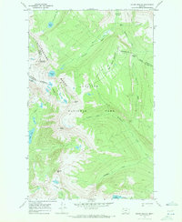
Editions of this 1968 Mount Geduhn Map
2 editions found
Other maps of this area

1904 · Chief Mountain
USGS Topo · 1:125,000

1906 · Kintla Lakes
USGS Topo · 1:125,000

1938 · Chief Mountain
USGS Topo · 1:125,000

1938 · Kintla Lakes
USGS Topo · 1:125,000

1957 · Kalispell
USGS Topo · 1:250,000

1960 · Kalispell
USGS Topo · 1:250,000

1960 · Cut Bank
USGS Topo · 1:250,000

1961 · Kalispell
USGS Topo · 1:250,000

1963 · Cut Bank
USGS Topo · 1:250,000

1964 · Cut Bank
USGS Topo · 1:250,000