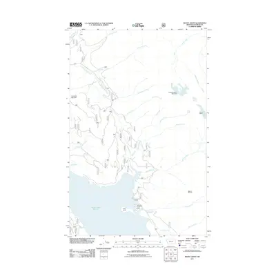
2011 Map of Mount Grant
USGS Topo · Published 2011About this map
Hungry Horse Reservoir dominates the lower portion of this landscape, its northern waters reaching into the Flathead National Forest. The reservoir's eastern shoreline is punctuated by Kelly Island and recreational points such as Murray Bay Campground and the Riverside Boat Landing. The geography is defined by a dense network of high peaks and drainage systems, including Great Northern Mountain and its namesake, Mount Grant.
Find a feature on this map
24 named features on this map. Tap any name to fly to it.
Don’t see what you’re looking for? This feature index may not catch every label — zoom into the map to look around manually.
Map Details
Editions of this 2011 Mount Grant Map
This is the sole edition of this map. No revisions or reprints were ever made.
Other maps of this area

1914 · Nyack
USGS Topo · 1:125,000

1958 · Felix Peak
USGS Topo · 1:24,000

1960 · Cut Bank
USGS Topo · 1:250,000

1963 · Cut Bank
USGS Topo · 1:250,000

1964 · Cut Bank
USGS Topo · 1:250,000
1964 · Jewel Basin
USGS Topo · 1:24,000

1964 · Nyack
USGS Topo · 1:24,000

1964 · Pinnacle
USGS Topo · 1:24,000

1964 · Stanton Lake
USGS Topo · 1:24,000
1964 · Nyack SW
USGS Topo · 1:24,000