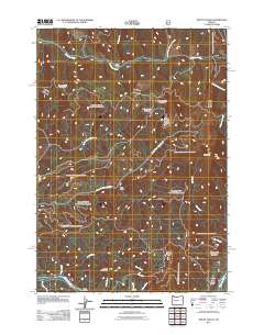
2011 Map of Mount Hagan
USGS Topo · Published 2011About this map
McKenzie River flows through the southern edge of this Oregon landscape, providing a geographic anchor for small riverside hubs like Finn Rock and Rennie Landing. The area is defined by its significant relief, transitioning from the river valley up toward Mount Hagan and Jimbo Mountain. The terrain is deeply incised by a dense network of watercourses, including South Fork Gate Creek and Bear Creek, which drain the timbered slopes. To the north, the Calapooia River and its various forks, such as the North Fork Calapooia River, carve through the heights near King Camp. The 2011 survey details the intricate system of Forest Service roads, such as Nfd 2611 Rd, which provide access to the interior gulches and peaks, reflecting the region's managed wilderness and recreational utility.
Find a feature on this map
30 named features on this map. Tap any name to fly to it.
Don’t see what you’re looking for? This feature index may not catch every label — zoom into the map to look around manually.
Map Details
Editions of this 2011 Mount Hagan Map
This is the sole edition of this map. No revisions or reprints were ever made.
Other maps of this area

1934 · Mc Kenzie Bridge
USGS Topo · 1:96,000

1940 · Mc Kenzie Bridge
USGS Topo · 1:125,000

1951 · Sweet Home
USGS Topo · 1:62,500

1951 · Leaburg
USGS Topo · 1:62,500

1953 · Salem
USGS Topo · 1:250,000

1954 · Salem
USGS Topo · 1:250,000

1955 · Blue River
USGS Topo · 1:62,500

1955 · Cascadia
USGS Topo · 1:62,500

1960 · Salem
USGS Topo · 1:250,000

1962 · Salem
USGS Topo · 1:250,000