
1955 Map of Cascadia
USGS Topo · Published 1958About this map
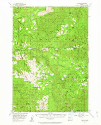
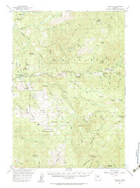
The South Santiam River carves through this mid-century landscape, serving as a primary corridor for travel and recreation in the Cascade foothills. Near the small settlement of Cascadia, travelers in the 1950s frequented Cascadia State Park and several established forest retreats, including Trout Creek Forest Camp and Fernview Forest Camp. The geography is defined by prominent peaks like High Deck and Rooster Rock, while the waterways are punctuated by natural landmarks such as Upper Soda Falls and Rainbow Falls.
Find a feature on this map
74 named features on this map. Tap any name to fly to it.
Don’t see what you’re looking for? This feature index may not catch every label — zoom into the map to look around manually.
Map Details
Editions of this 1955 Cascadia Map
3 editions found
Other maps of this area

1929 · Mill City
USGS Topo · 1:125,000

1934 · Mc Kenzie Bridge
USGS Topo · 1:96,000

1940 · Mc Kenzie Bridge
USGS Topo · 1:125,000

1951 · Sweet Home
USGS Topo · 1:62,500

1951 · Leaburg
USGS Topo · 1:62,500

1951 · Snow Peak
USGS Topo · 1:62,500

1953 · Salem
USGS Topo · 1:250,000

1954 · Salem
USGS Topo · 1:250,000

1955 · Blue River
USGS Topo · 1:62,500

1955 · Echo Mountain
USGS Topo · 1:62,500