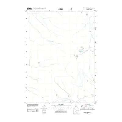
2011 Map of Mount Harrison
USGS Topo · Published 2011About this map
Mount Harrison dominates this 2011 survey of Cassia County, providing a high-elevation perspective on the drainage systems of southern Idaho. The landscape is defined by the headwaters of numerous waterways, including Willow Creek, Marsh Creek, and Land Creek, which carve deep incisions like Boulder Canyon and Von Canyon into the mountain flanks. Evidence of human activity is concentrated around water and mineral resources, notably at the Lake Cleveland Dam and the Myers Mine in the southern portion of the quadrangle. In the southeast, Clyde Flat sits near the intersection of Clyde Creek and Cassia Creek, representing a rare level opening in an otherwise vertical environment. Public land use is marked by the presence of Brackenbury Campground near the shores of Lake Cleveland, while the rural infrastructure is documented through local routes such as E Oakley Elba RD.
Find a feature on this map
28 named features on this map. Tap any name to fly to it.
Don’t see what you’re looking for? This feature index may not catch every label — zoom into the map to look around manually.
Map Details
Editions of this 2011 Mount Harrison Map
This is the sole edition of this map. No revisions or reprints were ever made.
Other maps of this area

1954 · Pocatello
USGS Topo · 1:250,000

1958 · Pocatello
USGS Topo · 1:250,000

1964 · View
USGS Topo · 1:24,000

1964 · Kenyon
USGS Topo · 1:24,000

1968 · Cache Peak
USGS Topo · 1:24,000

1968 · Basin
USGS Topo · 1:24,000

1968 · Marion SE
USGS Topo · 1:24,000

1968 · Elba
USGS Topo · 1:24,000

1968 · Mount Harrison
USGS Topo · 1:24,000

1968 · Albion
USGS Topo · 1:24,000